
Translated material
Drones are new smartphones: how programmers expand the functionality of drones
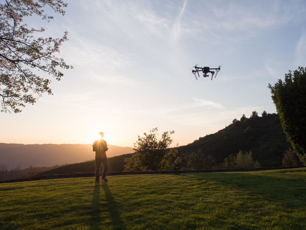
As from frightening devices that strive to break our privacy, drones turn into communication intermediaries, like smartphones? For this, the same approach is used that has turned phones from simple “calves” into full -fledged communicators. The community of programmers is invited to create their own applications for drones.
Leading manufacturers of DJI and 3D Robotics drones have already released a set for applications. And in January 2015, on the basis of OpenStreetmap, HiveMapper appeared - a service that allows the owner of the drone to find out where he can launch his drone and what can be seen there. By 2016, the service significantly expanded its database and turned from a small project into a large library of data on territories for permissible flights of drones.
With the help of machine learning, HiveMappper analyzed high -resolution satellite images and determined the outlines of 20 million buildings in the United States, as well as a height of 10 million of them. All this information is available on the site and in the application thanks to a supplemented reality technology.
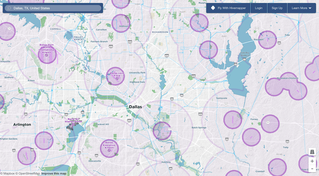
The database has 16 thousand airports and zones prohibited for flight, as well as thousands of attractions. The experience of using HiveMapper is comparable to how if you twist the globe in the Google Earth application. There are warnings in the service if the drone is too close to the building - users can also add information to HiveMapper to warn each other, for example, about the territory of the forest fire, where the device should definitely not be sent.
According to the forecast of the expert group of the Russian Strategic Initiatives Agency , the global drone market will be more than $ 300 billion by 2035. And due to the fact that the creators of the drones enable developers to try their strength, drones are increasingly starting to be used in civil and humanitarian projects.
A drip is a multifunctional tool that can be used in completely different ways, the main thing is that there is an application that controls it.
Already, with the help of drones , they are looking for victims during an earthquake , take pictures of the ocean surface to determine the area of pollution with plastic garbage and deliver medicines to remote corners of the earth. However, the development of applications will expand the functionality of drones and will allow the implementation of technically more complex ideas that have greater social significance.
Prospects for using drones using applications
Ecologist Lian Pin Koh gives convincing arguments about the use of drones to protect forests and wildlife, where compact and inexpensive drones can observe animals and even help in the fight against poachers.
Microsoft is trying to teach drones to fight epidemics . Researchers of the Premonition project (“foreboding”) work on the creation of drones that will help to determine and catch mosquitoes in order to learn more about the source of the possible epidemic. The project team explores the possibilities of using drones for fishing and moving mosquitoes.
HIVEMAPPER site.