
Translated material
All of Russia is not there
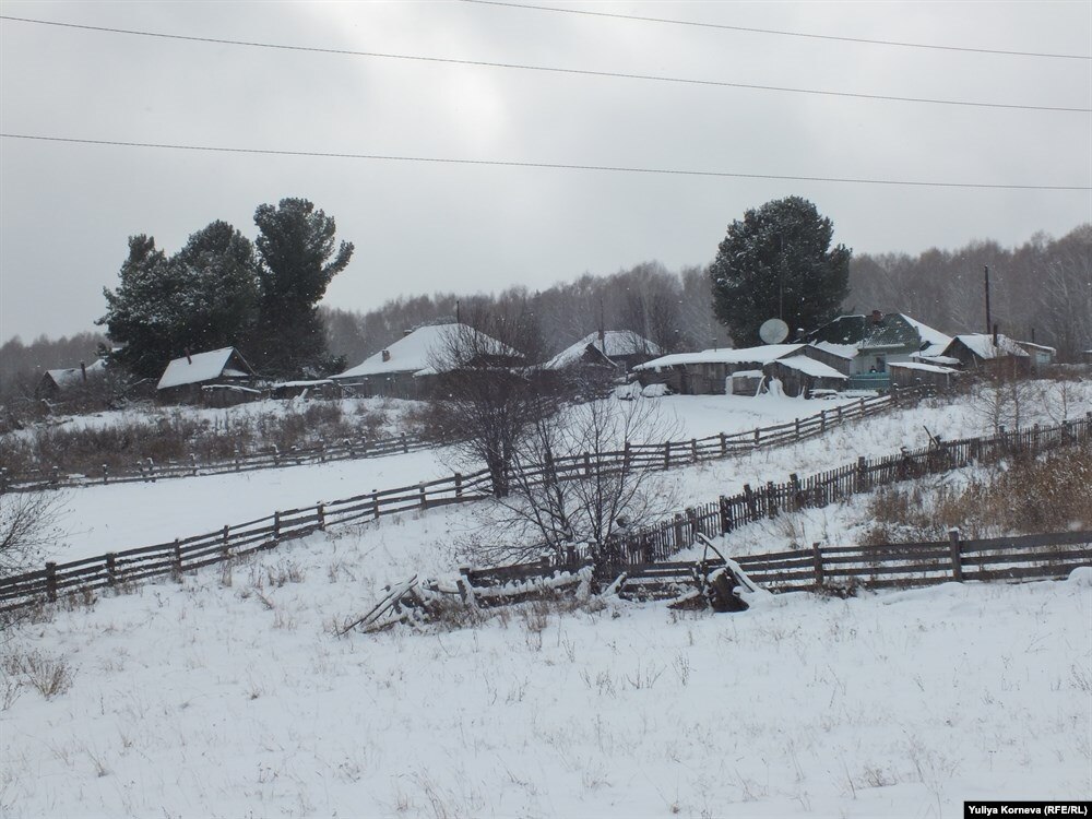
Since 2018, land surveying the boundaries of the land and its registration is mandatory for any transactions. You can live on the site, but it will be impossible to sell, inherit or give it without this procedure. In addition, now a mandatory revaluation of the cadastral value of the land is being carried out. Attempts to adjust reality under new standards turn into absurd contradictions that are very expensive for people.
- Five years ago, we bought two adjacent land plots in new ailies, next to Lyazgino. This year they called a cadastral engineer so that he put up the exact boundaries to us. The engineer arrives and goes to the forest with his device, ”says Olga Pavlenko , a resident of the village of New Veshka of the Tomsk region. - I told him: "Where are you going? Here are our two sites, here are the pegs." He says: "No, I'm going correctly." As a result, he put us new borders. And we were still lucky: our sites are at least on the ground, but the neighbor’s plot was in a swamp.
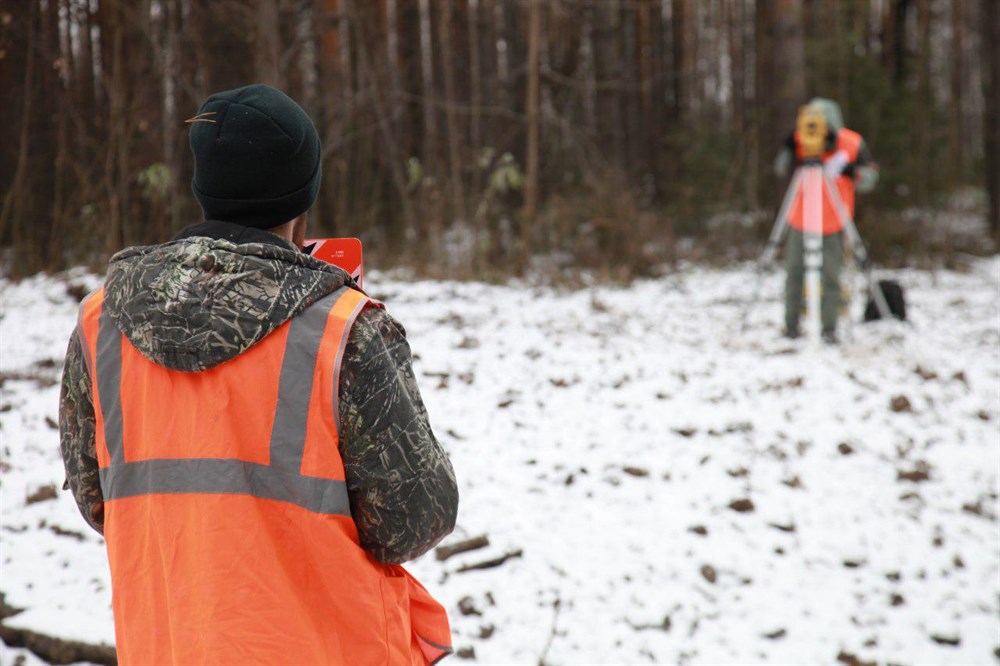
The cadastral engineer explained that now such confusion is everywhere. Since 2010, land surveying in Russia has been held in a new way: with reference to coordinates (MSC 70), in other words, by satellite. Until 2010, another system was used in the Tomsk region - according to the description. By principle: 150 meters from the tower in the field. In practice, two systems with such different approaches did not agree. And in the Tomsk region, almost all areas dissolved until 2010, in reality, are not where they are officially on the new cadastral map. At least, we are cases when the boundaries of the site (real and on paper) were miraculously coincided, are still unknown.
As a result, Olga Pavlenko did not build anything in the old boundaries of her site: suddenly a neighbor with a cadastral engineer would come and ask to leave his land. It turned out that now all the roads in the village are not there. Following the new rules, in theory, it is necessary to transfer both roads and houses.
It turned out that all four streets of the developing village in the zonal
- I, a pensioner, a former teacher. In 1983, housing was allocated to me - Polodoma, since then I have been living in it, ”says Alexander Chegarnova from the village of Belyai Pervomaisky district. - I privatized housing, now I wanted to privatize the land under the house, but I could not. The map of the village available in the rural settlement was displaced and deployed relatively real coordinates. The cadastral passports formed previously by the inhabitants of the Belyai do not correspond to the actual location of real land plots. And we are refused the landing of the land for cadastral registration, they say, your place on paper is already taken. The cadastral engineer simply refused to take up my business, said that this is unrealistic.
In the village of Belyai there are people who paid for land survey: specialists came to them, they shot everything, but they could not do the documents. Because it turned out that the road passes along their sections. The administration of the Pervomaisky district made an estimate for a comprehensive land survey in 2016, but the money was not allocated for this.
“So now I, it turns out, live on a foreign land,” says Alexandra Chegarnova. - And since 2018, when free privatization will end, I am my own site, if it can be dissolved, I will buy it from the state for money.
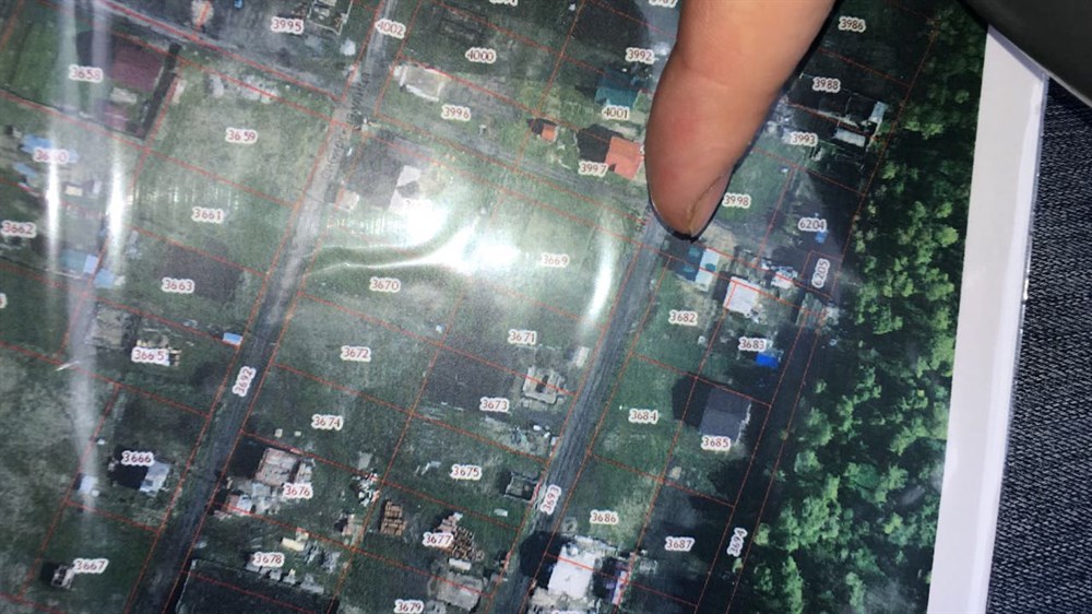
- Recently, they were faced with the problem: they wanted to register the house in property, but it turned out that ours allegedly stands on the road. It turned out that all four streets of the developing village in Zonalnaya were shifted. The administration cannot help, who made a plan - they do not know. And what to do people? - Kristina Lychman , a resident of the village of Zonal Station, tells about her problem.
Cadastral chaos
There are sea such stories. Kornilovsky rural settlement of the Tomsk region, for example, is displaced almost completely. In Kornilov itself, several new microdistricts were superimposed on each other. Now residents cannot legitimize their homes, cannot get permission to supply water and gas. And all-because of the cadastral "errors". For more than one year in Kornilov, the authorities promise to solve the problem dramatically: having allocated money for complex cadastral works. But no money, as usual, is not.
The activities of cadastral engineers are subject to certification. This is not public service. They work either within the framework of a legal entity, or as individual entrepreneurs. In the Tomsk region of cadastral engineers today there are 369 people. The business is profitable, given today's chaos with the ground. It happens that indignant people are trying to find their cadastral engineer, and the company he came from is no longer. In fact, they do not disappear anywhere, they simply re -register the company and work on.
- Almost all cadastral engineers remain in this area. Including those who conducted survey in the early 2000s, ”says Irina Shcherbina , head of the cadastral registration department of the Cadastral Chamber of the Tomsk Region. - It is simply by the law that you can make claims only to the legal entity that was multiplied by you. So the legal entity, which has been incorrectly measured, may not be there now, but the cadastral engineers themselves definitely remained. We are received by the court decisions either on the establishment of borders, or to eliminate the register error, or to exclude borders from the cadastre. The vessels really became multiple.
Cadastral engineers do not agree that these are only their mistakes. The binding system has changed to the area, and they are not to blame for this. Yuri Lesnikov has been working on a cadastral engineer since 1984. And now the only thing he can help is to honestly warn the landowners that there will be problems.
There are practically no sections that would one -on -one coincide with the modern cadastral map
“Of those areas that were previously dissocated and registered until 2010 to the cadastral registration, there are practically no those that would be one to one coincide with the modern cadastral map,” says Yuri Lesnikov . - Then it all depends on the neighbors. It is necessary that they are ready to redo their boundaries and agree on everything. And as for the guilt of the cadastral engineer-there are examples when the cadastral engineer prepared documents, handed it to the cadastral ward until 2010, to MSC 70, attached cartographic material, where everything was drawn correctly, but for some reason this area was put in another place in the accounting body. I don't know who to blame here.
The creation of the cadastral chamber, according to Yuri Lesnikov, is a purely political event, and it did not solve the problem. It was necessary in order to report that the work on the introduction of cadastral accounting was completed. The state decided in the early 2000s to enter a cadastral record, but the technology did not think.
- And this was not accounting in fact, but a purely assignment of cadastral numbers. And who needed such an account? Now most sites are wrong, says Yuri Lesnikov.
In any case, the owners of the sites have one way: call the cadastral engineer, coordinate the boundaries with neighbors, go to court in a conflict situation.
Three more
Vladimir Likhachev is the owner of the cottage in the horticultural partnership "Vesna" for the village of Stepanovka. At the end of 2015, a man came to him, introduced himself as a neighbor in a summer cottage, said that he bought a plot, built a house, a bathhouse and decided to register everything in Rosreestr, paying for surveying already according to new rules. But the neighbor was refused, saying that three other sites are located on his land, including Vladimir Likhachev. Although the plots have been cut and have not changed boundaries since 1991.
It was as if someone drunk into the sites cut our boundaries. 120 meters from the real site - could it be so wrong?
“He found everyone who is registered on his site: me and two more neighbors,” says Vladimir Likhachev. - He said that we also need to conduct a new land survey and then, they say, they will register me, and at the same time you will bring the boundaries of our sites in line. We had this discrepancy on the Rosreestr map of almost 120 meters. While we thought, a month later the agenda came to court. The court met three times. The representative of the Rosreestr said that the cadastral engineer who measured the plots in 2006 was to blame, when the country amnesty was announced and we made a survey. We found this cadastral company, but they say: three years have passed, we do not accept claims and in general, we did everything right. Ask, they say, from Rosreestr. And Rosreestr says: as we were measured, we registered. There are no ends.
As a result, Vladimir Likhachev remade the documents and transferred the borders several times, then one mismatch will be found, then the other, then the rules will change while the court and the case.
“We returned the documents for alteration six or seven times,” says Vladimir Likhachev. -That is, for almost two years we tried to eliminate someone's mistake. It was as if someone drunk into free areas cut our boundaries. 120 meters from the real site - could it be so wrong?
Stand for the ground with a pitchfork and axes
Not only houses and summer cottages were not in place. The problem is with municipal subjects, their location is under the stage of approval. In the USRN (the Unified State Register of Real Estate), the boundaries of only one municipal association - the Zonalnensky rural settlement (in total in the field of rural settlements 115) were introduced. Only 210 settlements were introduced (there are 578 plus 6 cities in the region). The situation in Tomsk with the borders of the sites, as they say in Rosreestr, the most prosperous, there were more or less correctly correctly correctly. There are problems with the subjects of the federation. The boundaries of the Tomsk region are also not yet applied to the map. So far, it turns out that all of Russia is not in place.
Residents of other regions face the same problems. In the village of Kruglikovo, the Lazo district of the Khabarovsk Territory, for example, the lands of peasants were distributed to the "Far Eastern Hake" due to the cadastral error. The reason for such a lining in the local administration was explained by the fact that the locals did not manage to dissolve their plots in time.
The owners of the Far Eastern hectares threaten to demolish all the gardens and fences that stand on the lands issued to them
"When signing the contracts for the provision of land under the Far Eastern Hectare program, cases were revealed when the issued lands belonging to the lands belonging to the owners who did not specify their borders did not land survey," the Lazo District Administration said in the land use department.
The owners of the plots to give the land on which they worked for many years, they are not going to “hectares” for the “hectare” to the new settlers. The situation is heated to the limit. The owners of the Far Eastern hectares threaten to demolish all the gardens and fences that stand on the lands issued to them, and the former owners of the plots are going to meet newcomers with pitchfork and axes.
Among the cadastral reforms, the Melnikov family was among the cadastral reform, several generations of their ancestors lived on this earth. They had to conquer their garden and the bath through the court.
-We did land survey several times in different years-and all the time we had to redo due to different failures in the system. When they submitted documents for surveying last year, we were refused. They said that part of the land no longer belonged to us, and explained that we supposedly submitted documents late, ”said Olga Melnikova .
According to her, the trial took almost three months. As a result, the recipient of the Far Eastern Hectare, who claimed part of the garden, himself abandoned the ground, as he decided to leave the Far East.
In the village, all are like that - some of the very porch of the house were measured, and not everyone has the opportunity to pay for the court
- But there, too, the procedure is complicated - the Earth still needs to be removed from the cadastral accounting. There, I apologize for the expression, so much hemorrhoids. In the village, everyone is like that - some of the very porch of the house were measured, and not everyone has the opportunity to pay for the court. At the same time, the state does not recognize its mistakes and is not going to compensate for anything, ”said Olga Melnikova.
Now, in order to avoid a repetition of the situation with the Far Eastern Hectare, Melnikov needs to be surveyed again. But they are not in a hurry with this - money needs money.
- This is all such pumping up money. I already did land survey twice, and again it is necessary - and it costs 5.5 thousand rubles. I will leave everything within the old borders so that they will not be pulled. Tired, ”says Olga’s mother, Evgenia Melnikova .
Cadastral error at a business at a business
9 hectares of land on the outskirts of the village of Itatka of the Tomsk region. In the old building, where in Soviet times the equipment was repaired, a year ago there was a sawmill, small business Vitaly Matatova, who lasted until 2012. On February 20, the Arbitration Court will be held and the Agrarno-Lesnaya Company LLC will be recognized as bankrupt on the application of the tax service. Vitaly was unable to pay the land tax for 2015-almost a million rubles. He challenged this tax, but the state of the post-facts refused to recognize its mistake.
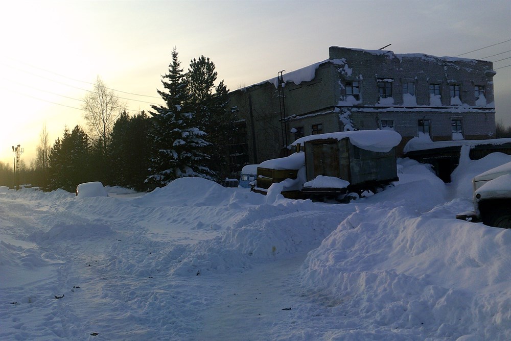
In 2014, the regional department of state property ordered a new assessment of the cadastral value of land plots. Such a revaluation is done every four to five years. The assessment was carried out by the NPP LLC Universal. The land under a pilram in Itatka was estimated ten times more than it cost before. It was a little more than six million, and it became 62 and a half million rubles. The price took off due to erroneous information about the permitted use: the cost was counted at the expensive tariff "Land under the objects of trade and public catering" (5th species). In fact, this is "land for operation and maintenance and maintenance and maintenance of maintenance and service buildings and structures "(9th species), which is much cheaper.
The fact that in 2015 it was necessary to pay such a huge tax on the sawmill we learned, of course, when this tax was already charged, that is, closer to the end of 2016. The Director of LLC Yuksa immediately applied to the Cadastral value of the Earth at Rosreestr. The commission agreed that the land plot in Itatka could not cost 62 million, found a mistake and returned the value of the commission from 05.10.10 2016 the cadastral value was determined at 6,753,000 rubles. But the company could not be obtained for 2015. “Yuks” in addition to the already paid tax of 92 thousand rubles was given land tax for 2015 in the amount of 844,746 rubles.
The cadastral value was determined erroneously, but it is considered the "archive" and it was necessary to dispute all this earlier
From the court decision: "When conducting a cadastral assessment, an error was originally made in assigning the site to 5 groups of the permitted use. An erroneously established value of the plot affects the company's rights to pay land tax in the legally established manner." The meaning of the court decision Vitaly Matatov was explained as follows: yes, such a cadastral value was determined erroneously, but it is already considered the “archive” and it was necessary to dispute all this earlier, in that very 2015. So the court of LLC “Alk” Yux, despite the recognition of the error, still lost.
However, why the recalculation is impossible - Vitaly Matatov did not understand. He cites an example of a similar situation that happened to his own sawmill a few years earlier. In 2011, this land was already estimated at the same 62 million rubles. And then in 2012 the commission on disputes under the Rosreestr and the Cadastral Chamber already recognized the mistake and returned the previous value of the land. Then the recalculation was made. Now the situation is similar, but they refused to recalculate.
My hut with the edge
The representative of the Cadastral Chamber in the court, which took place at the end of last year, explained that this section really has the form of permitted use No. 9 for the operation of buildings, but they simply entered the new cadastral value provided by the Rosreestr.
The representative of Rosreestr in court stated that, due to the authority assigned to him, the Rosreestr cannot influence the results of the mass cadastral assessment of the sections, he is not a customer for such an assessment.
The court of LLC NPP Universal, which was mistakenly appreciated the land, was not involved as the defendant. What kind of company it was - it was not possible to find out exactly. According to some reports, the company from Perm simply accrued tax on the cadastral value submitted to it.
The lawyer, whom the businessman Vitaly Matatov spent the last 100 thousand rubles, convinced the leadership of the Yux that he would easily win the case, but lost the case. After all, lawyers are paid for work, not for the result.
The prosecutor’s office, which was also addressed by the Director of the Alc Yux, Vitaly Matatov, confirmed "the impossibility of revising the cadastral value of the land plot as of 01.01.2015".
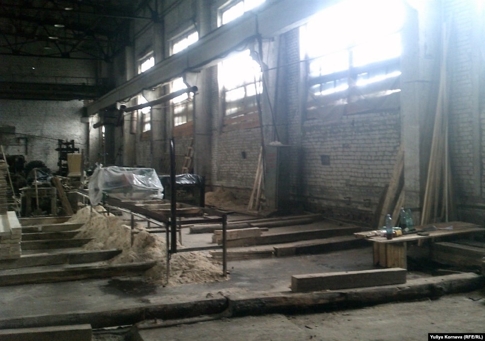
Now the account of a company that did not pay an overwhelming tax for her is arrested. Ten people worked on the pilram, they all lost their jobs, the pilram is closed. Now it is recognized as bankrupt, property will be sold so that the state still receives its tax. You think about it, one small business is smaller.
“Once I wanted to create a multidisciplinary enterprise,” says Vitaly Matatov . – Ведь столько сельскохозяйственных полей заброшены и зарастают березняком. It didn't work out. Государство мой малый бизнес не поддержало. Меня поддерживали только морально: молодец, хорошо, прекрасно. Ни налоговых льгот, ничего. Счет арестовали, работники, после года простоя, разбежались.
Уполномоченный по делам предпринимателей Томской области Валерий Падерин историю "Юксы" знает. Говорит, что это не единичный случай. Хотя и наиболее вопиющий.
Новая кадастровая оценка для большинства была большим психологическим ударом
– Много лет у нас земля была недооценена, – рассказывает Валерий Падерин . – Все понимали, что земля должна стоить больше, но не настолько. Так что новая кадастровая оценка для большинства была большим психологическим ударом. Но "Юкса" попала в совершенно ненормальную ситуацию. Когда все ошибку вроде бы признают, но исправить ничего не могут. Еще у нас, например, был случай, когда предприниматель к своему совершенно пустому участку за свой счет подводил коммуникации (электричество, воду) и после этого ему повысили оценку земельного участка в разы, потому что благоустроенный участок стал более ценным. Но ведь он все сделал за свой счет. И теперь он за это благоустройство еще и должен расплачиваться.