
Translated material
In St. Petersburg - predictive. What weather to wait?
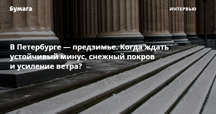
In St. Petersburg there is a predictive - a period with changeable weather, the main weather forecaster Alexander Kolesov told Paper . In an interview, we discussed how temperature differences will affect the city, how long the snow cover will last and wait for warm days.
Alexander Kolesov
The main weather forecaster in St. Petersburg
- Through our areas, through St. Petersburg [in the coming week, November 22–28], several cyclones will pass - due to this there will be changes in air temperature and precipitation in the form of snow, then in the form of rain. Now the weather is generally cold over us.
In the coming nights, it is worth expecting a decrease in air temperature, including significant - to minus 3-4 degrees. In the vicinity of the city, a decrease is possible to minus 6 degrees. In the [Leningrad] region, it is possible to decrease to minus 10-13 degrees. [On the day of November 22–23, the hydrometeorological center in St. Petersburg expects from 0 to minus 3 degrees.]
Cyclones will endure warm air mass. But again, in plus, the temperature will go only on the afternoon of November 24 - we are waiting for a plus of 2-4 degrees. It will be maximum temperatures.
Before that, the rise of the cyclone is snowing. I think that in the city center there will even be a cover of 1-3 centimeters. But in the afternoon [November 24] there will be a plus and precipitation, turning into the rain. Accordingly, the cover will melt.
The 25–26th day will again pass the cyclone. At night, the temperature will drop to zero, and in the afternoon - to 3-5 degrees of heat, but again with the rain. And on Friday it cold again.
The passage of cyclones will also be with increased wind - up to 8-13 meters per second. Basically [wind] southwest, western.
Summary: this week, today and tomorrow, we have the first stable minus. So far, we have relatively dry asphalt, but in the future, November 24–25, there will be ice in certain areas.
A steady plus is not worth waiting - plus it will only be with the release of cyclones and the removal of warm air masses for a short time. And so, then mostly cold weather and cons.
At the same time, I would not call it in winter - these are still predictive, when there are differences and when the snow cover then falls out or descends. Now everything is unstable.
What else to read:
- What to do in St. Petersburg in bad weather? 16 ideas - from excursions to home recipes.
- Petersburgers showed what a skating rink on the territory of Sevkabel Port will be this year.