
Translated material
Freezing instead of a thaw
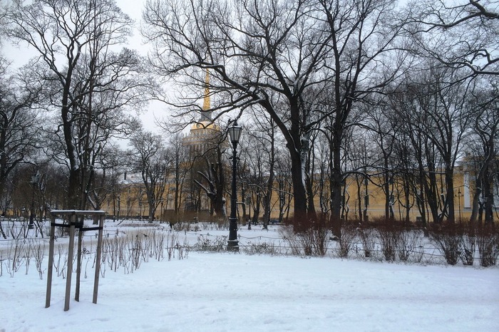
The last days of January in St. Petersburg will be warm, but from the beginning of February, frosts will come to the city. Negative temperature and heavy snowfalls are expected from the middle of the week. “Paper” found out from the main weather forecasting of the city of Alexander Kolesov, on which days a dangerous ice is formed and whether Petersburgers can take a walk on the weekend without snowfall.
Weather in the first half of the week: from +2 to –2 and precipitation
- At the beginning of the week, on January 30 and 31, the plus air temperature will still remain in St. Petersburg - up to +2 degrees. Precipitation will be in the form of wet snow. Such weather was formed due to the cyclone that passes through the city. Today and tomorrow we will be in its southern part.
Cyclone brought strong southwest winds. Gusts can reach up to 15 meters per second.
Tomorrow [January 31] the cyclone will gradually go east, due to which in St. Petersburg a decrease in air temperature will begin. Already in the afternoon, the indicators will turn into negative values - up to –2 degrees. At this time, precipitation will go in the form of snow.
On Wednesday, February 1, there will be a short break in precipitation, the air temperature can drop to –5 degrees.
Weather for the second half of the week: up to –10 and snowfall
- On Thursday, February 2, the city will be under the influence of a new cyclone that will be released on Wednesday. In St. Petersburg, it will snow, which will last until the weekend. The air temperature will be low -negative - up to –5 degrees.
At the weekend, frost can strengthen up to –10 degrees of air. The exact data will be known closer to the end of the week.
Throughout the week in St. Petersburg it will be very slippery - especially in those places where snow lies. After the snow falls out, its upper layer will be the most dangerous.