
Translated material
Google's services have updated satellite pictures of Mariupol - for the first time since 2021. On them you can evaluate the catastrophic scale of destruction
Azovstal, a drama theater and other objects - before and after the Russian invasion
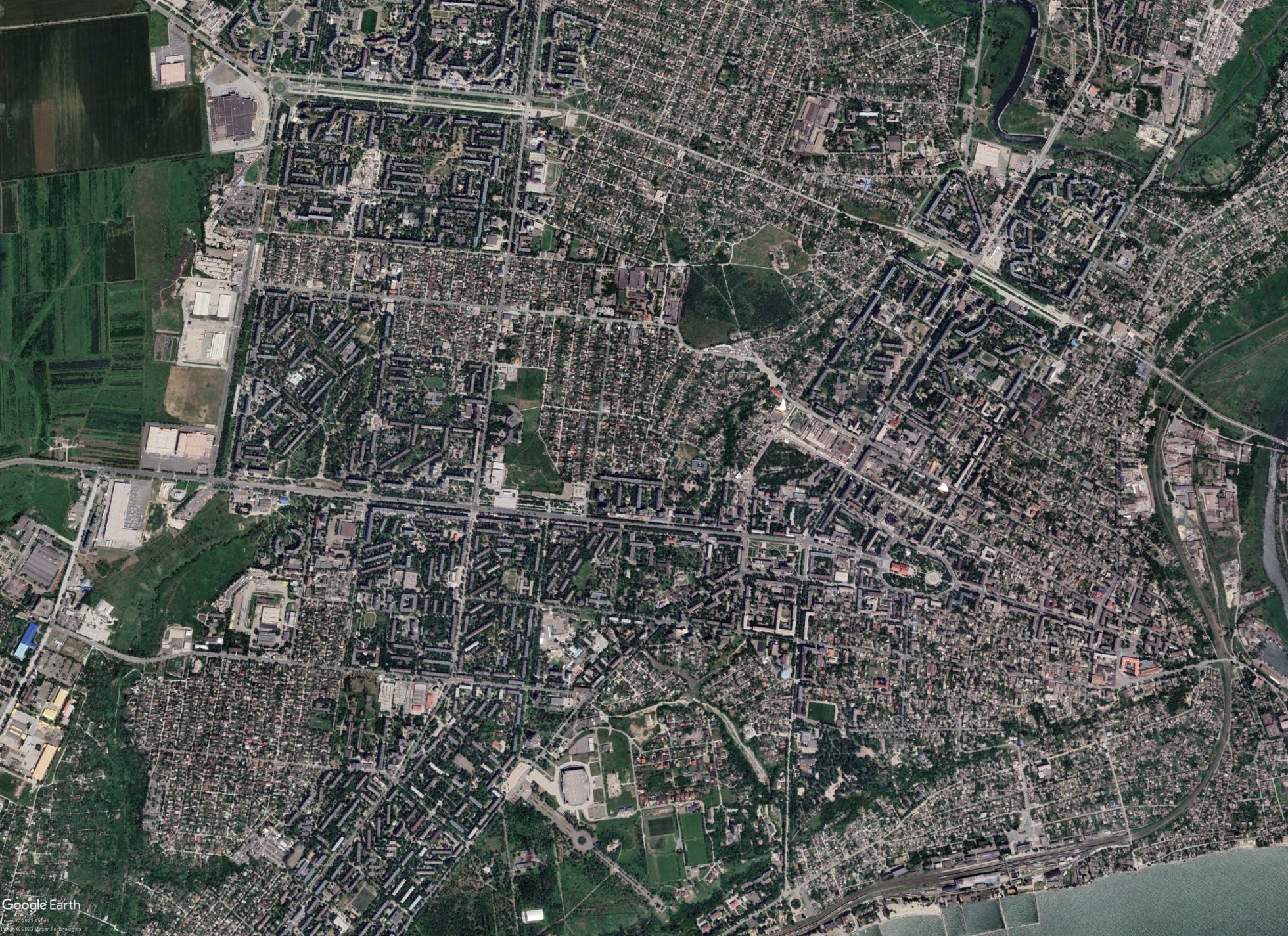
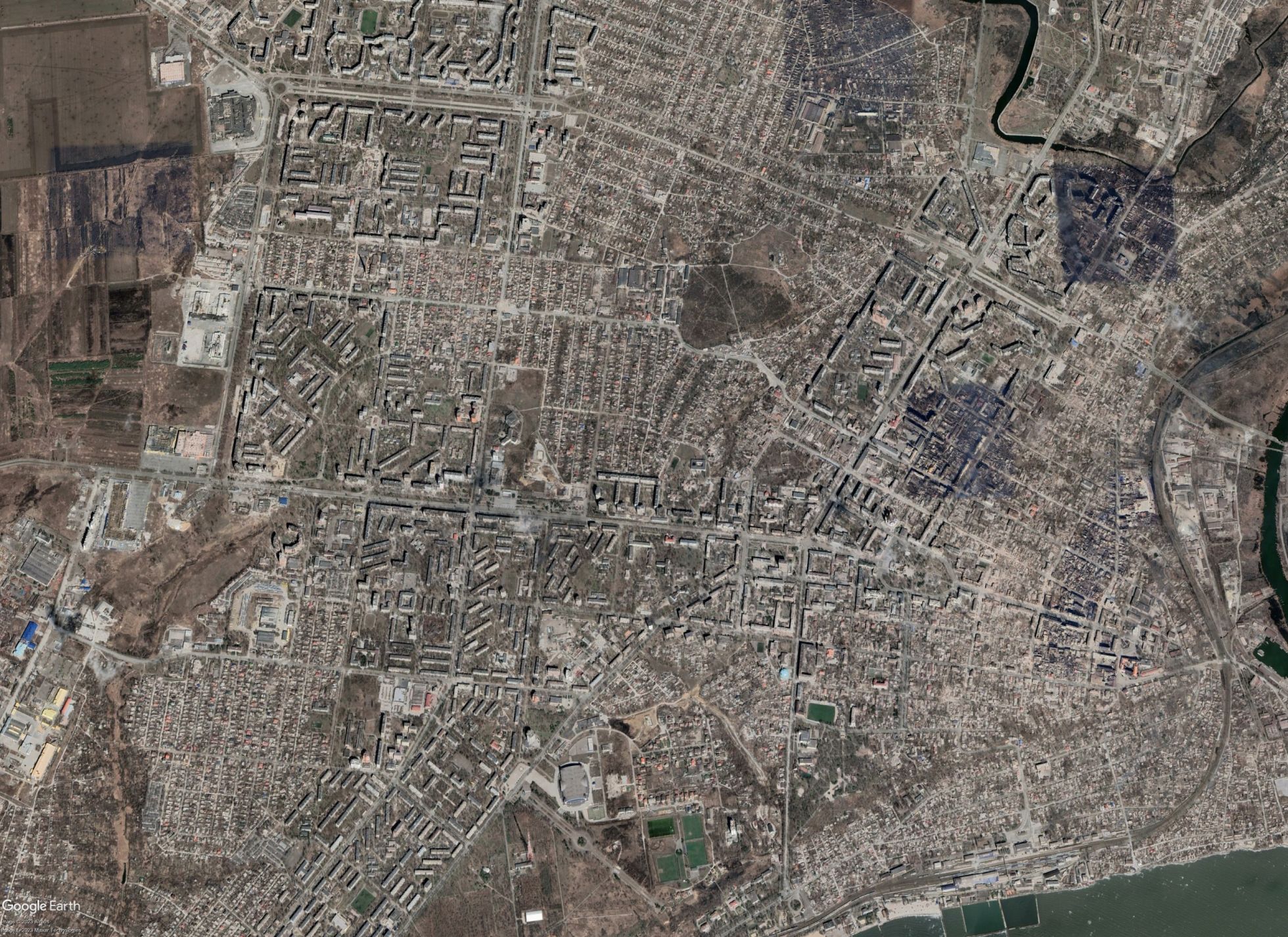
Google Earth and Google Maps services on April 25 updated Mariupol satellite pictures. The previous time this happened before the Russian invasion - in June 2021. The pictures included in the update were taken at different times after the start of a full -scale war. So, in some areas of the city, fires are visible during battles, in others - the construction of new buildings by the occupation authorities. At the same time, in the pictures, for example, there is no Nevsky microdistrict, which Vladimir Putin visited in March 2023. Therefore, the photographs cannot be concluded about what is happening in the city right now. However, one can make an idea of the scale of destruction in Mariupol. You can compare the state of the city before and after its assault in the Google Earth application.
The central part of the city
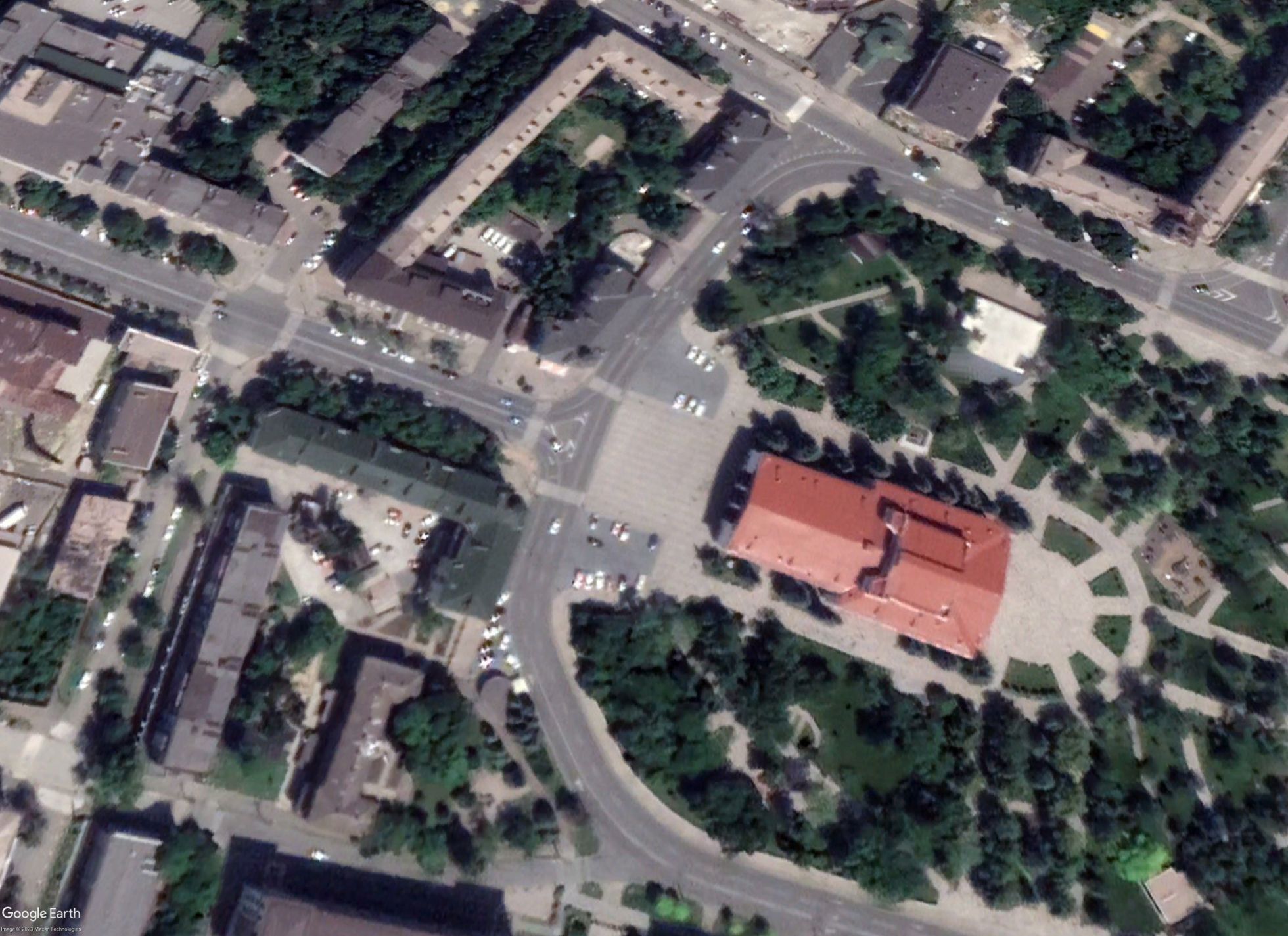
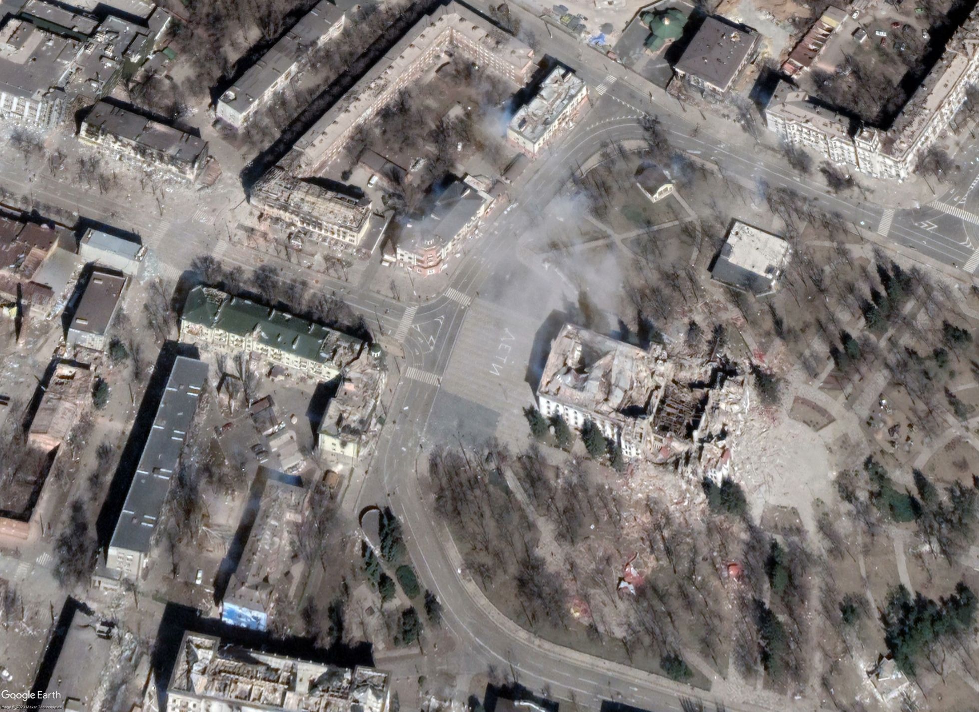
Drama Theater
Artillery fire funnels in the east of the city
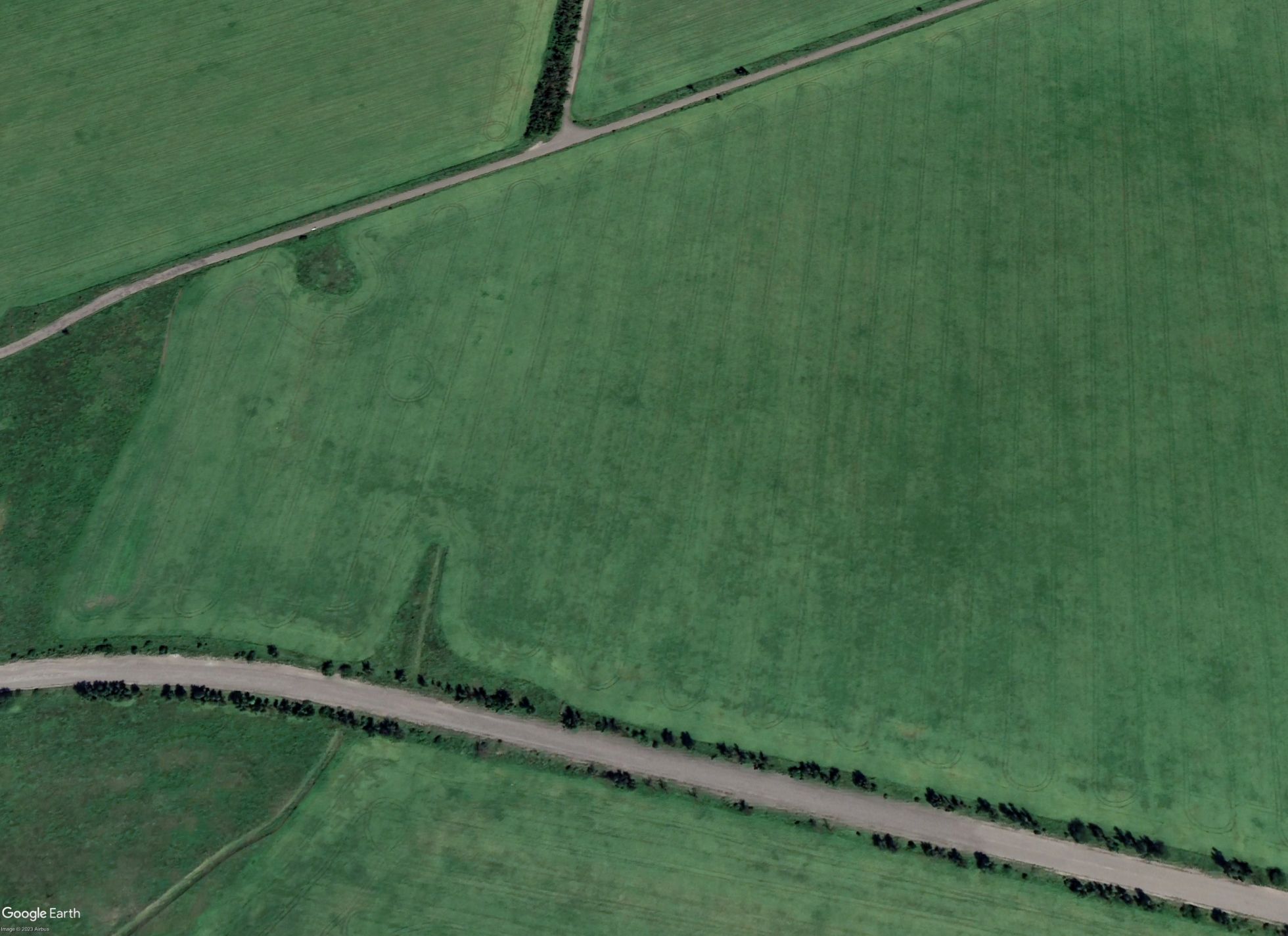
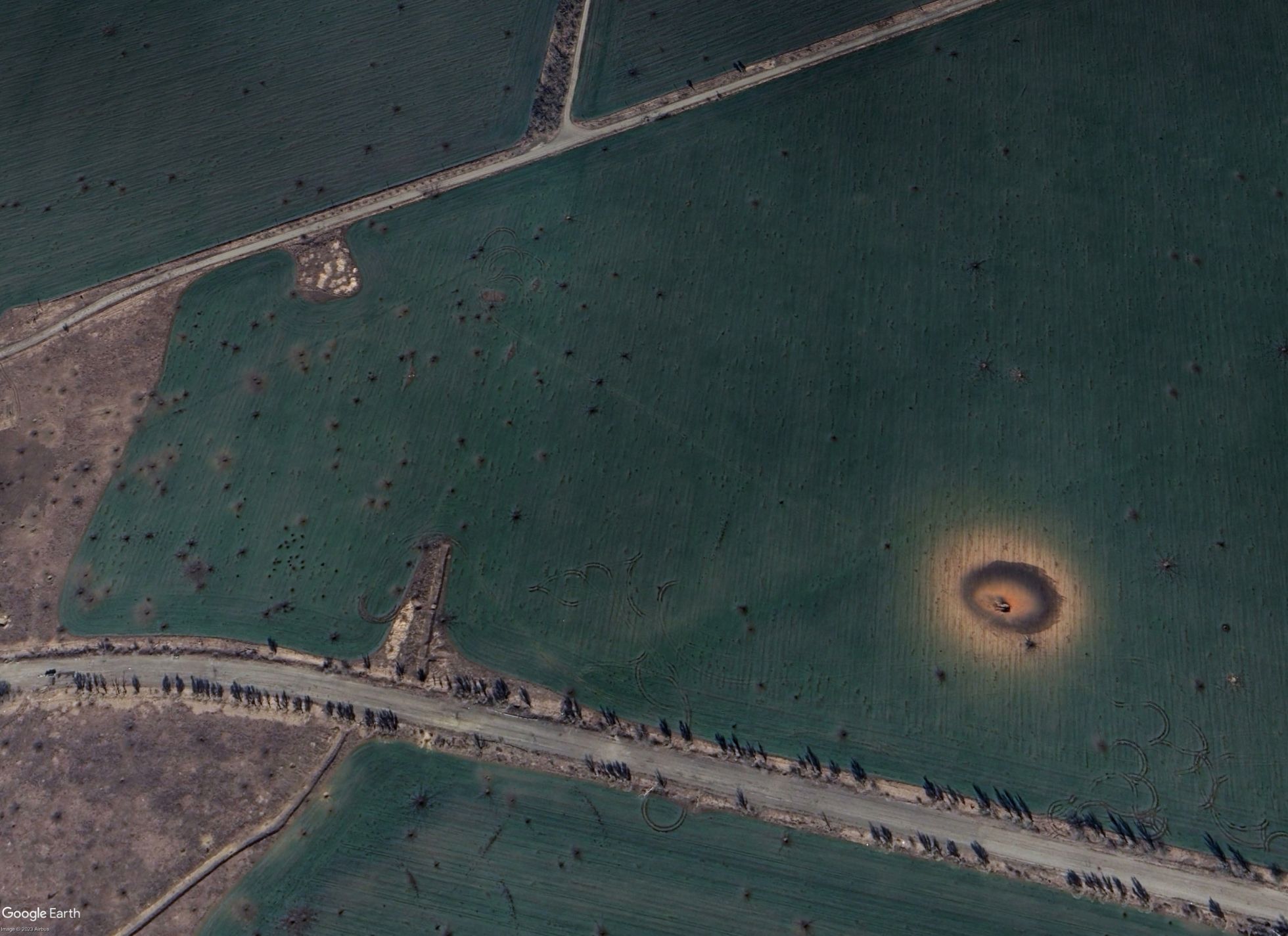
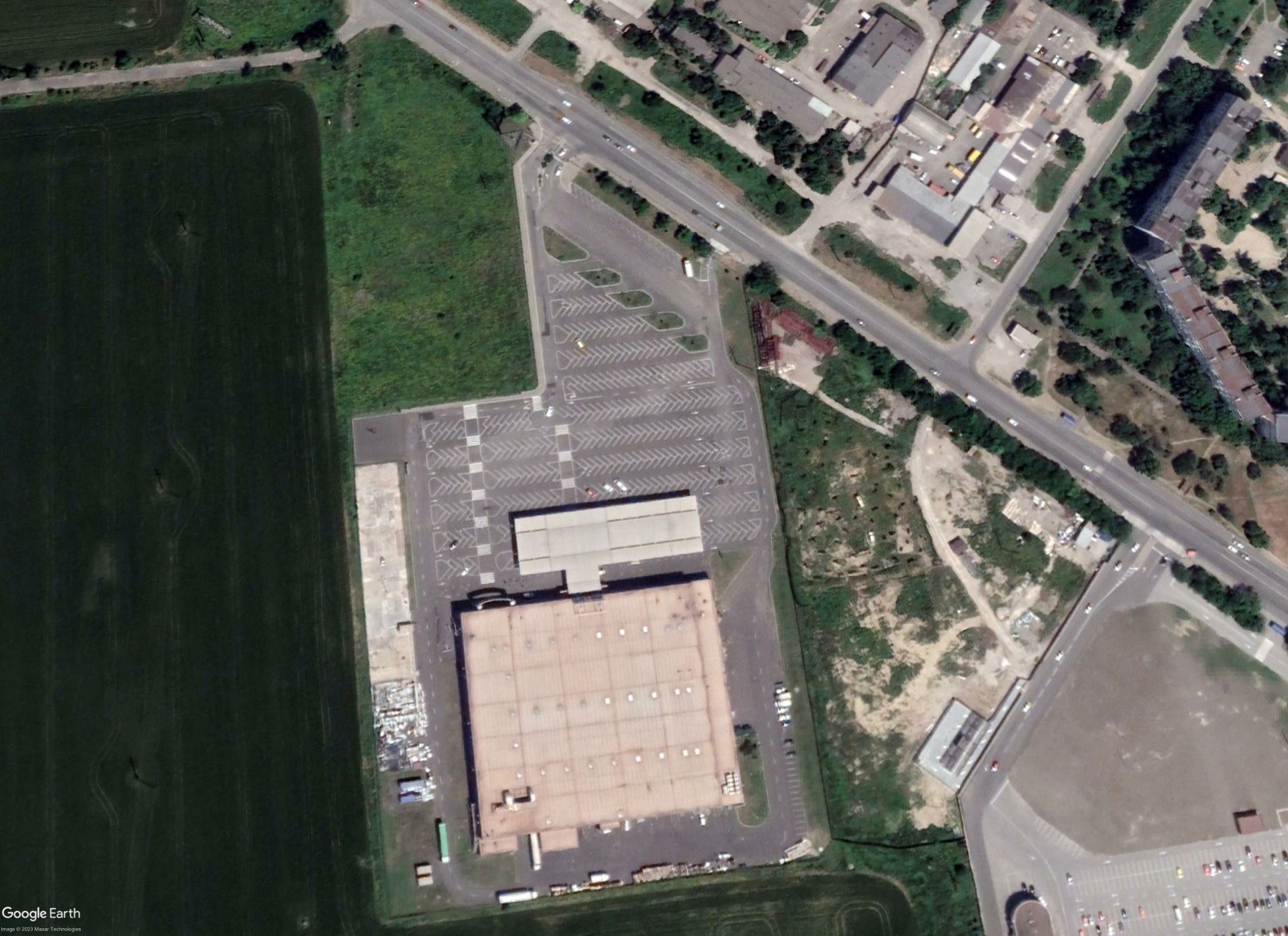
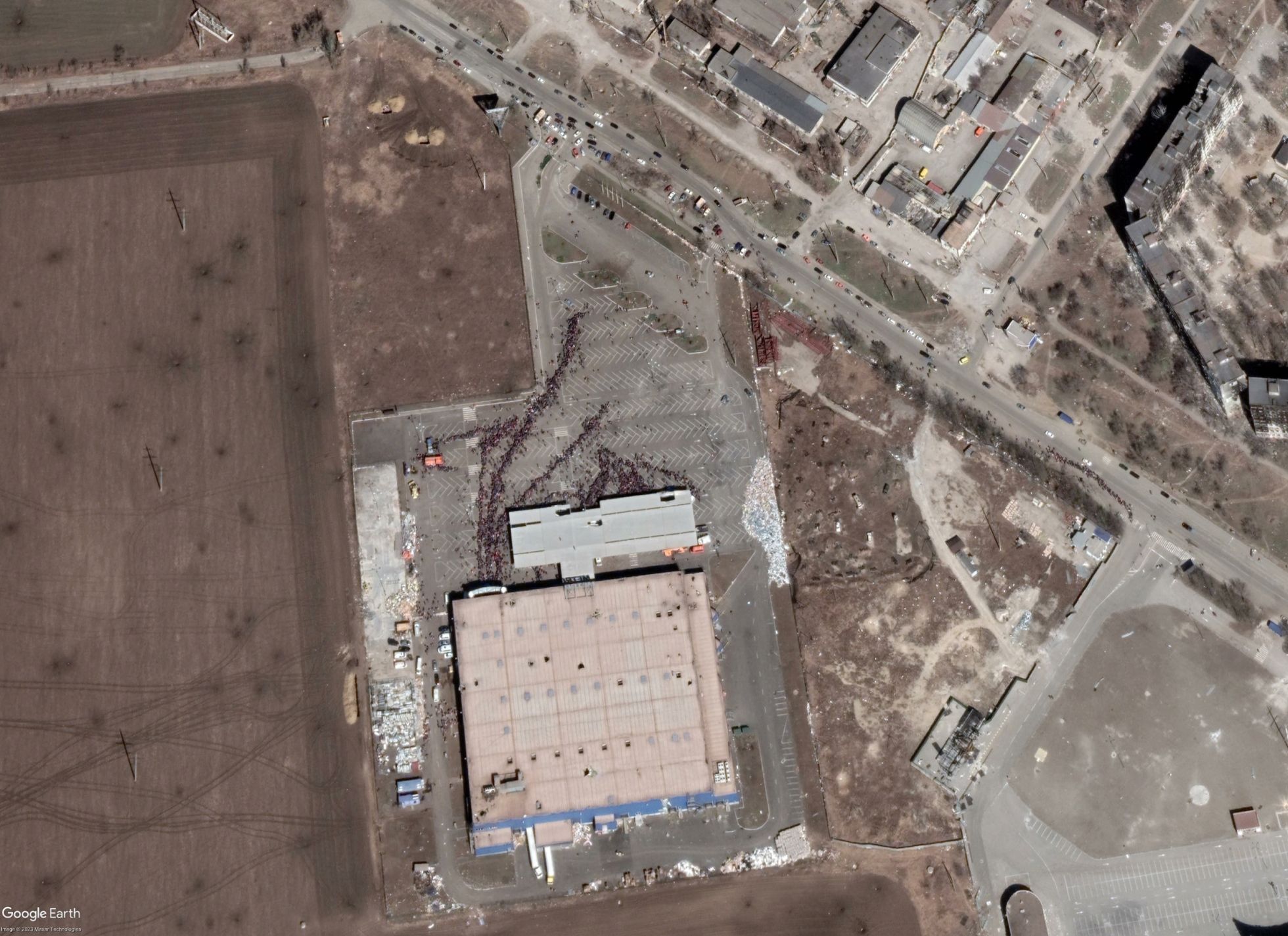
Queue in the Center for Assistance of United Russia in Mariupol
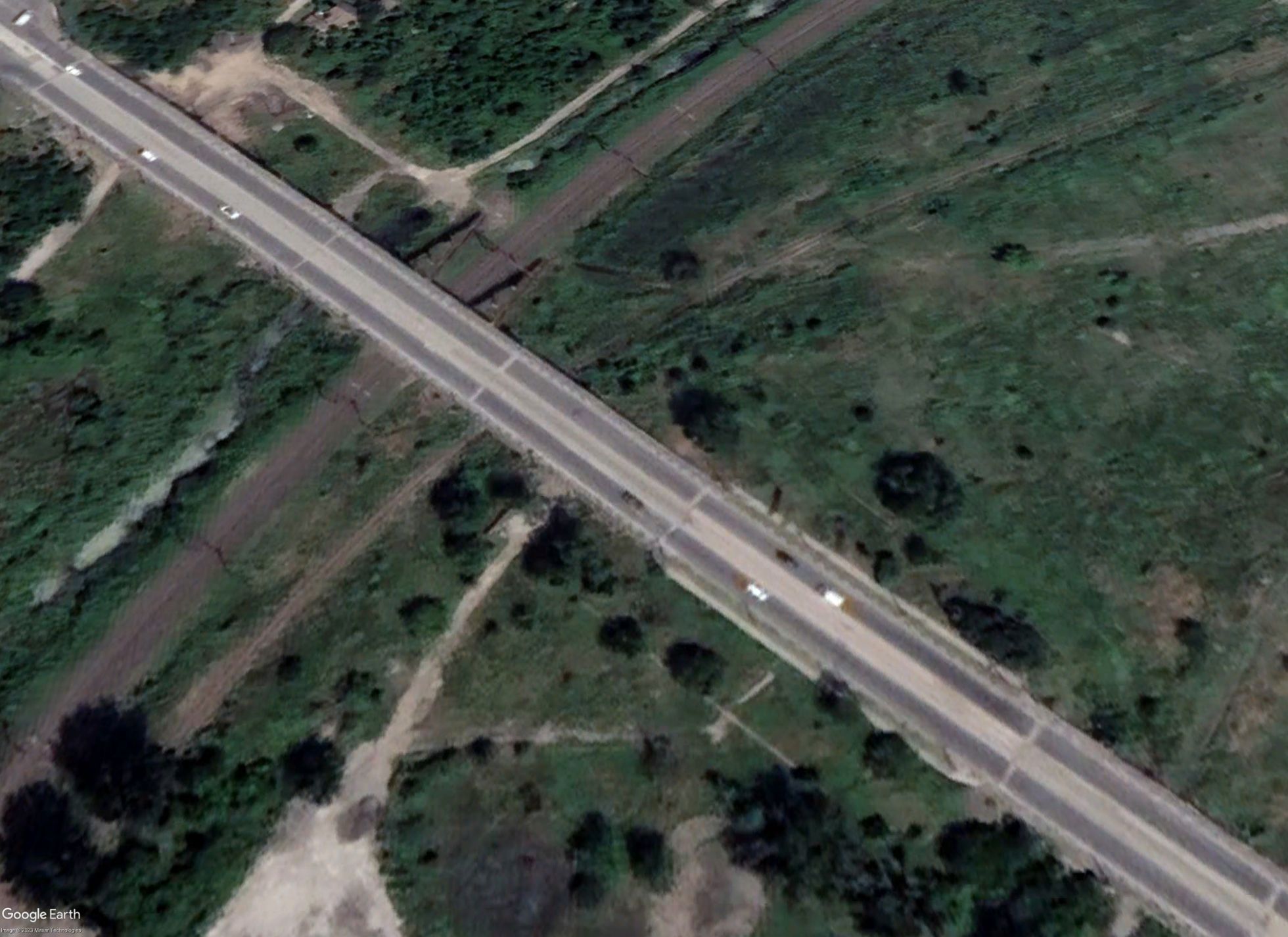
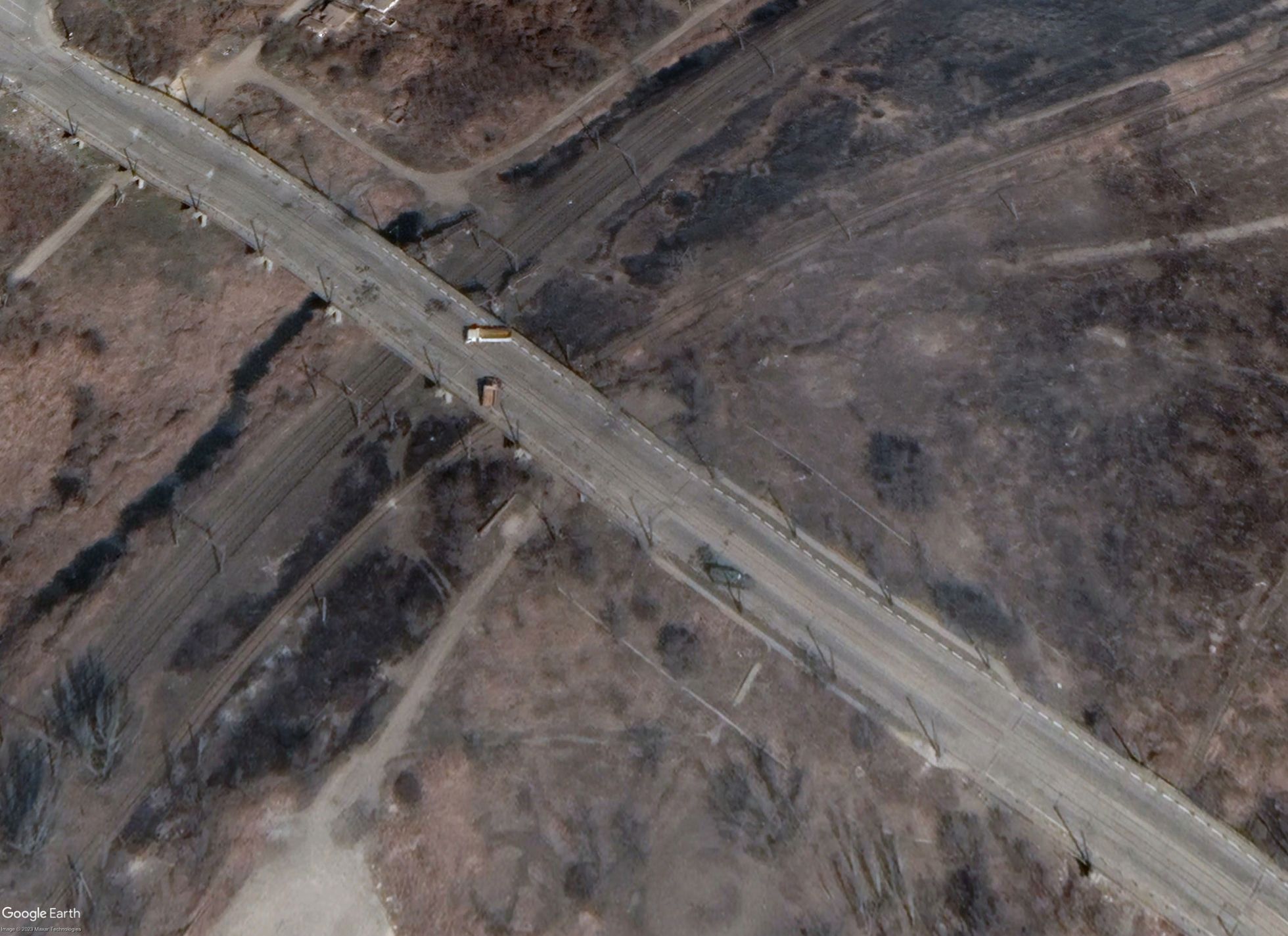
Checkpoint on the road to Azovstali
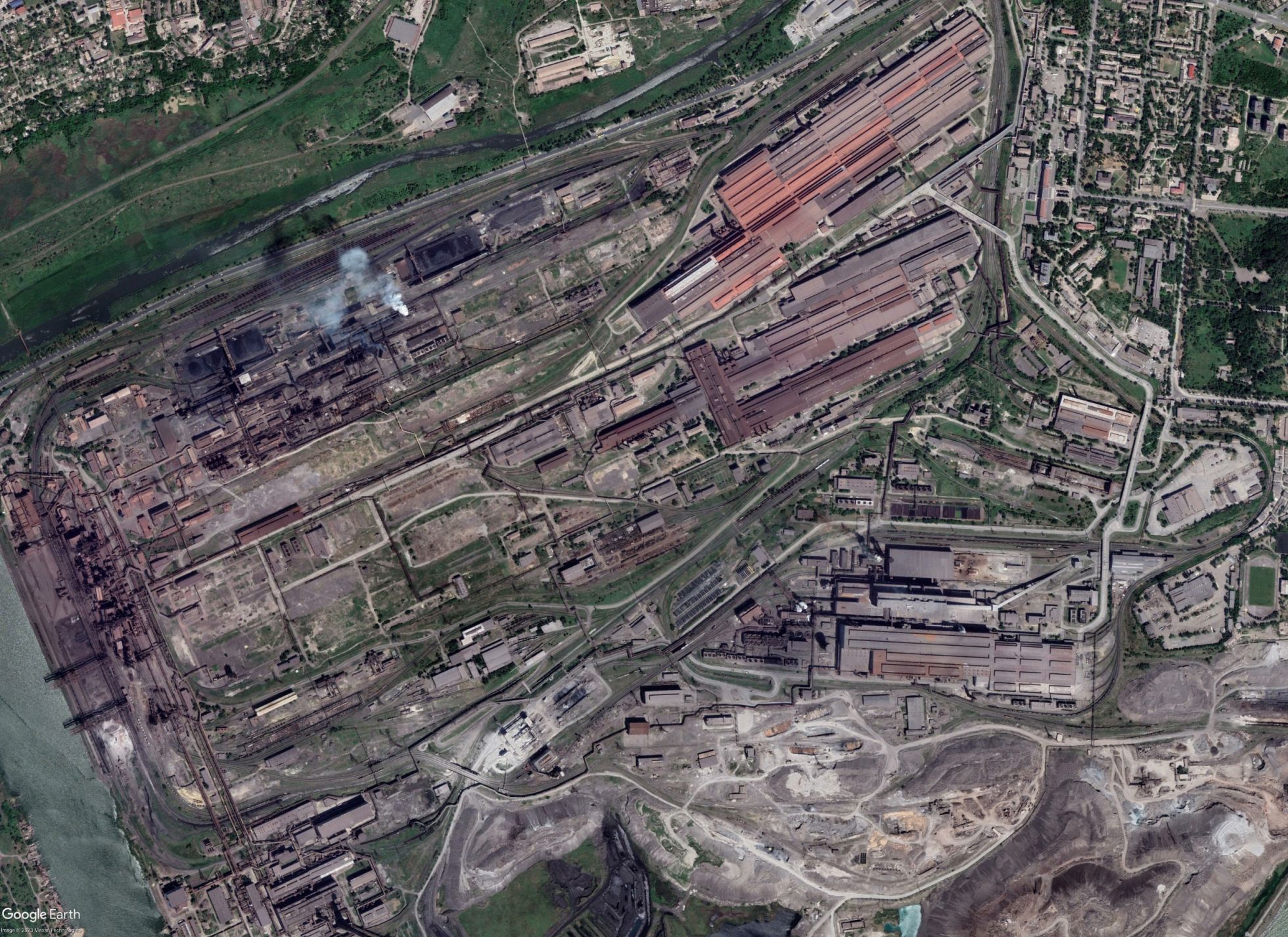
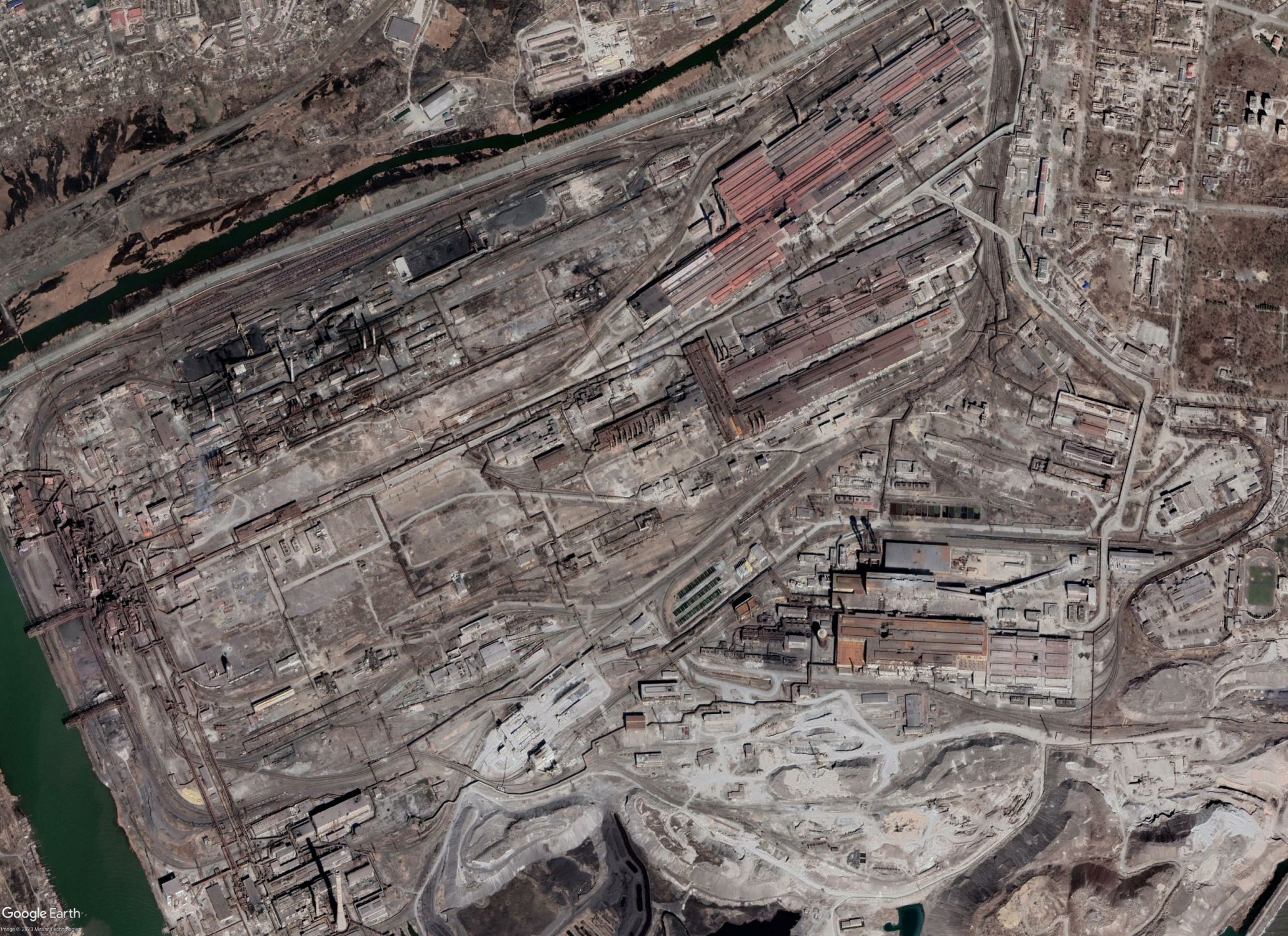
"Azovstal"
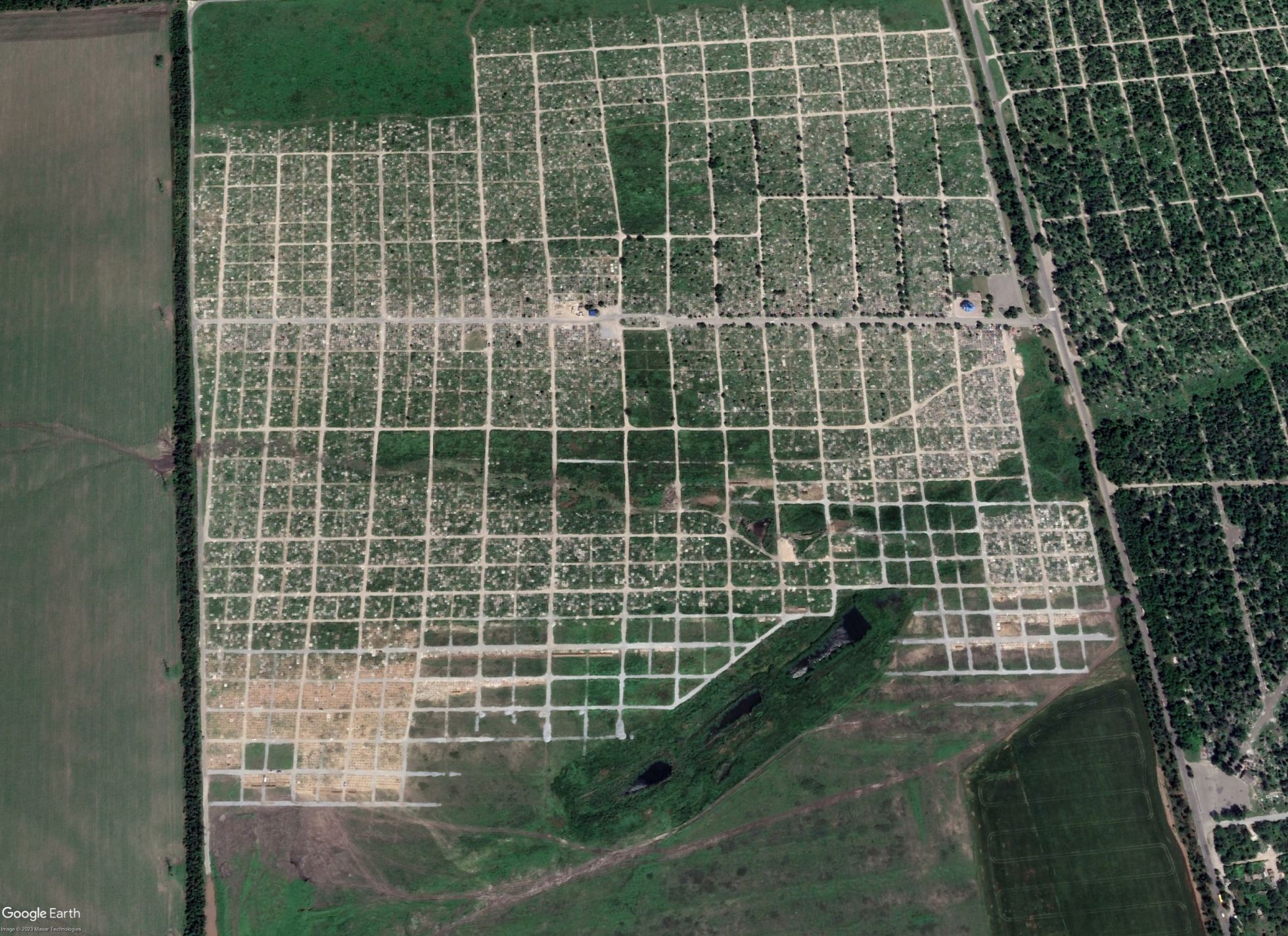
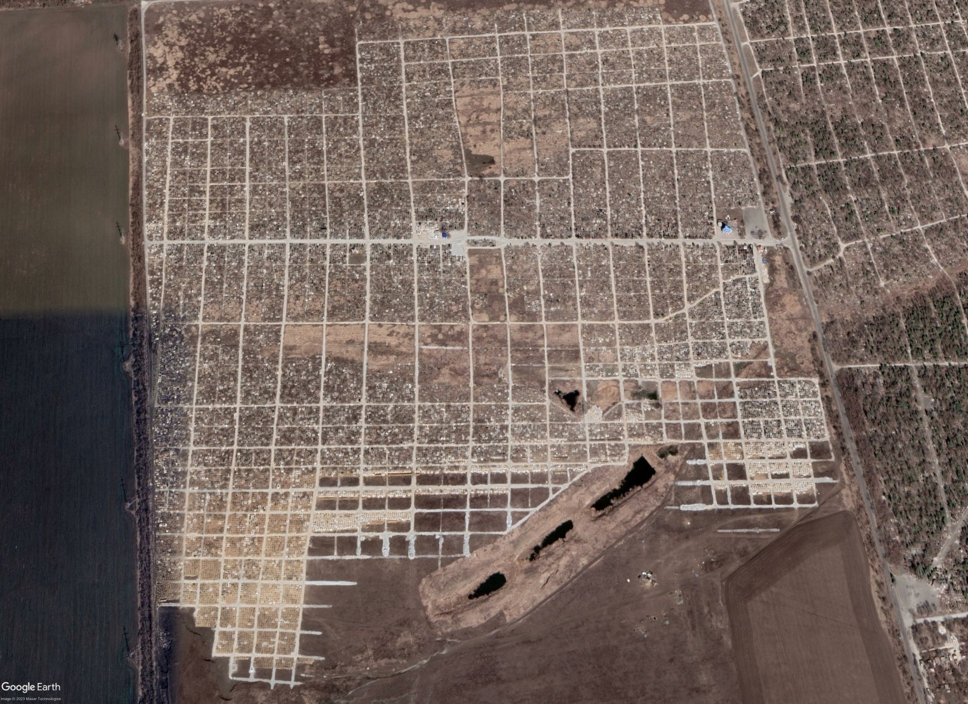
Starrykskoye cemetery
"Jellyfish"