
Translated material
Satellites recorded a fire near the Lipetsk military airfield
After the drones hit in the Lipetsk region, NASA satellites recorded a fire near the military airfield, which is located north of the city. Not far from the place of the fire are four settlements, the evacuation of which was announced at night by the Governor of the Lipetsk Region Igor Artamonov: Koptsevs Khutor, Fedorovka, Yakovlevka and Tinkovka.
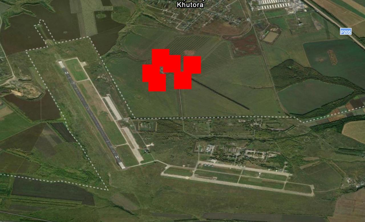
- Judging by the satellite pictures, fire arose, among other things, in the zone where the tanks are located. It is not known what exactly is stored in these tanks.
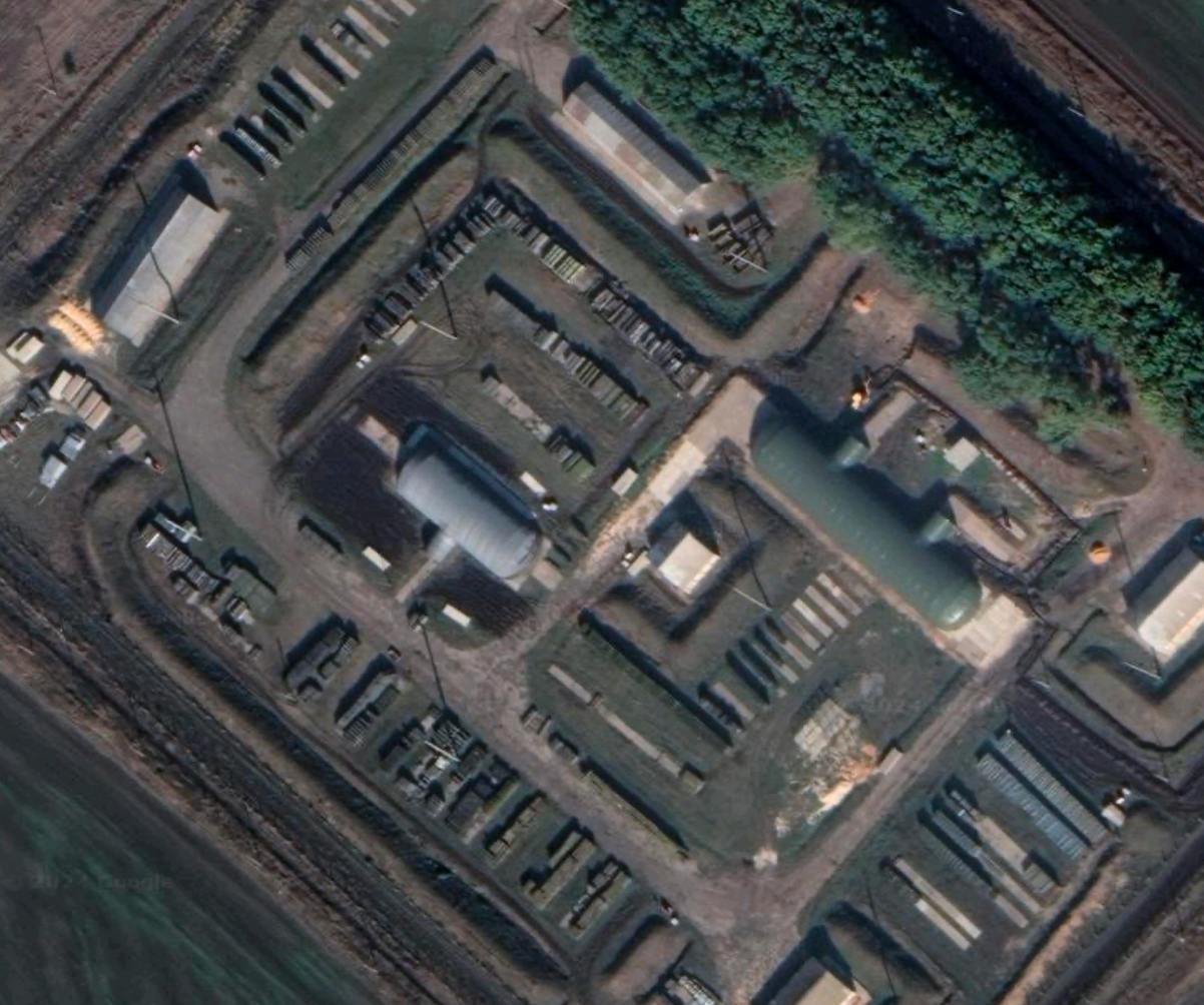
- Judging by the pictures, the airfields and planes themselves could not suffer. The satellite took the pictures at about 03:00. And the message on the governor’s blog about the danger of UAVs appeared at 02:04, at 03:30 a post on the consequences was published .
- The governor’s post did not specify the place of hit. “There was a detonation of explosive objects away from civilian buildings. <...> As a result of the fall of the UAV, an object of energy infrastructure is damaged, ”he wrote.
- In total, according to the Ministry of Defense, 19 drones were shot down over the Lipetsk region at night, nine people were injured . In the Lipetsk municipal district, an emergency mode was introduced at night.
- The Ministry of Defense at night from the reader that several dozen drones knocked down, including 26 UAVs over the Belgorod region, seven over the Kursk region, five over the Bryansk region, four over the Voronezh region, one above the Oryol region, five above the Crimea and eight above the Black Sea.