
Translated material
Ambiguous signal
Due to problems with GPS in the EU, pilots use classic navigation methods. The malfunctions were accused of Russia. Is this a side consequence of the fight against Ukrainian drones or an element of a hybrid war with the West?
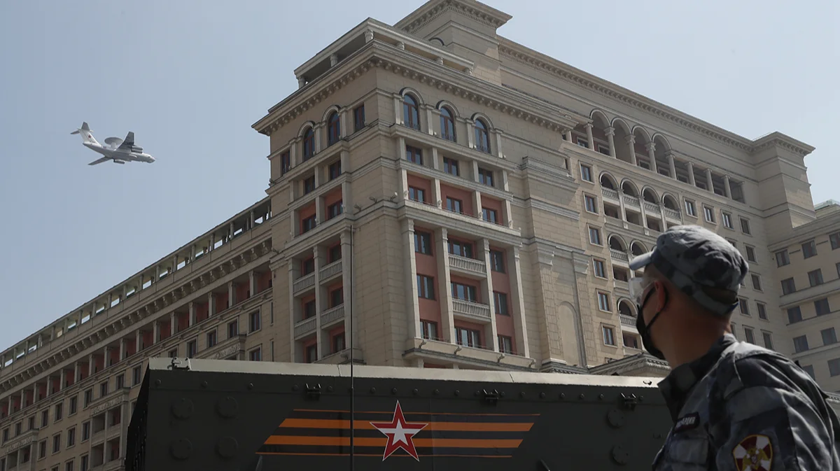
Air Force aircraft with a radar during the general rehearsal of the Victory Parade in Moscow, June 20, 2020. Photo: Sergey Chirikov / EPA
Satellite navigation has ceased to be a reliable tool in the Baltic region. What used to be considered a rare anomaly today has become an everyday reality: civilian pilots, captains of fishing vessels and dispatchers record GPS malfunctions almost daily. This topic will be one of the key at the first from 2022 session of the General Assembly of the International Civil Aviation Organization (ICAO), which is opened on September 23.
Western experts and politicians have no doubt about Moscow’s direct involvement in what is happening. At the same time, the former often focus on the version of the side effect of the Russian Federation’s attempts to protect themselves from Ukrainian drones. But the latter actively promote the idea that we are talking about one of the elements of a hybrid war and probing the red NATO lines. About what the problems with satellite navigation are dangerous, what does Russia have to do with it and what can be done about it is in the material of Novaya Gazeta Europe.
The signal reached IKAO
At the 42nd session of the ICAO General Assembly, a governing body that has not been gathered since the fall of 2022, representatives of almost all countries of the world and key international organizations will meet in the Canadian Montreal. The agenda is vast: from September 23 to October 3, it is planned to discuss the main problems of aviation that have accumulated in three years. And among them there will be a question of sharply intensified problems with GPS navigation. In particular, as follows from the agenda , the ICAO council, the permanent body of the organization, which includes 36 member states elected for three years-“will present a report on issues that can affect the safety of aircraft flights and the reliability of aeronautical systems, such as the creation of interference for the work of GNSS”.
What is GNSS
The GNSS abbreviation deciphens as Global Navigation Satellite System, that is, a global navigation satellite system. This is the collective name of all such systems designed to determine the location of ground, water and aircraft, as well as low -orbiting spacecraft. In addition, GNSS allows you to set the speed and direction of the signal receiver, and are also used to get the exact time. To describe these functions in aviation, the abbreviation PNT - PLACE, NAVIGATION, TIME is used.GNSS means American GPS, European Galileo, Russian Glonass and Chinese Beidou. There are also regional systems, such as Indian IRNS and Japanese QZSS.
At the same time, in the most part of the documentation for aircraft systems, the term “GPS” is used , not “GNSS”. Flight crews also use GPS as a standard term.
What will be in the report is already known. On June 13, the IKAO Council discussed the issue of interference in the operation of radio frequencies and satellite navigation systems raised by six EU states: Estonia, Finland, Latvia, Lithuania, Poland and Sweden. Russia is not present in the EU Council: in 2022, following the results of voting, for the first time during the existence of ICAO (that is, since 1944), she was not elected there (but will try to return according to the results of the current session of the General Assembly).

Considering the issue of GPS problems, the Council expressed a serious concern about what was happening by assigning responsibility to Russia. She was called to comply with obligations within the framework of the Convention on International Civil Aviation, the principles set forth in applications to it, as well as international aviation rules. Moscow was given 30 days to the dacha of explanations with a description of the measures taken to terminate the intervention in the work of GNSS.
It was noted that with an unconstructive reaction of the Russian side, the issue will be referred to the ICAO Assembly - as a case of violation of international law. So in the end it happened.
The draft resolution prepared by the ICAO Council for participants in the General Assembly says that the external intervention in the work of GNSS has become a “systemic problem in several regions” and is a threat to aviation. The Council has prepared a list of recommendations aimed at reducing risks. Participants in the General Assembly will now have to consider them.
Problems with GPS: Jumming and Spulshit
ICAO has in mind the two problems associated with GPS. The first is jamming (jamming; jamming) when the signal receiver receives a powerful white noise instead of a useful signal. The plane seems to fly into a “cloud”, in which nothing is visible. “If someone turns off your headlights while you are going at night, the trip will become dangerous,” the then head of the Foreign Ministry of Lithuania Gabrielus Landsbergis explained in 2024.The second problem is Spoofing (fake). The receiver is slipped by false, but at the same time convincing navigation information: inaccurate data on navigation or location. As a result, the aircraft systems suddenly begin to “go crazy”: the map shows one thing, sensors - another, automation gives conflicting signals. Characteristic signs of Spuffing are a mismatch of data on location, time displacement, abnormal discrepancies between the dash and waybill. Often the effect of “jumping” occurs when the displayed point “jumps” by hundreds of kilometers. Sometimes, as a result of the spikes, on the map, completely absurd trajectories are obtained - for example , ships “float” to the ground and begin to draw circles there.
Everyday interference
The very problems of jaming and fastoffing are not new. For example, back in 2018, such cases regularly recorded in Norway, and the country's Ministry of Defense then found out that the GPS signals were jammed by "Russian troops located on the Kola Peninsula."
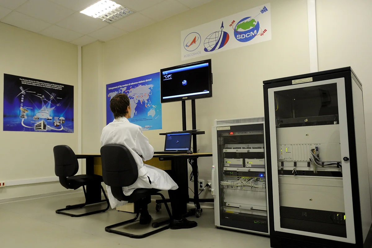
But since 2022, the problem has acquired an unprecedented scale, which can be evaluated using the services for monitoring the cases of jumming and spunes, such as GPSJAM and GPSWise . There are several problem spots on the maps that do not disappear day by day. This, for example, is a triangle of Israel - Palestine - Jordan, Lebanon, Iraq, part of Turkey next to Cyprus, the border of India and Pakistan, part of the territory of Myanmar. Sometimes a point arises on the southern border of the United States ( according to the American authorities, this is a consequence of the activity of drug cartels). But always the largest spots are located in a number of Russian regions east of the Ural mountains and in areas close to the Russian Federation and Belarus - in particular, among the Baltic, Black and Caspian seas.
In September 2025, they paid attention to the rapid growth of statistics in the European Commission. Aviation experts are also talking about this.
“Although GPS interference is not a new phenomenon, the scale and consequences of the current power of Space are unprecedented”,
- Approved in the report of the International Organization of OPS Group, which unites 8 thousand employees of the aircraft industry, published in September 2024. The study states that “Pufing began to have a serious impact on civil aviation in September 2023”: in the first few months, “relatively few aircraft” suffered, but by January 2024, on average 300 flights per day were put down, and by August this number increased to about 1.5 thousand per day. In the period from July 15 to August 15, 2024, 41 thousand flights have already hit the OPS Group.
Profile departments of European countries lead their statistics. So, in a report prepared by Sweden, Finland, Estonia, Lithuania, Latvia and Poland for ICAO, it is stated : in the first four months of 2025, almost 123 thousand flights of 365 airlines collided with interference in the work of GPS and other satellite systems over Europe. At the same time, every month the indicator grew: 23.4 thousand, 28 thousand, 29.9 thousand and, finally, 41.3 thousand.
Estonia authorities argue that in certain areas of the country, various kinds of interference and failures are recorded at altitudes from 1.5 to 13 km daily, affecting at least 85% of flights flying there. Lithuania recorded a 22-fold increase in GNSS mocking cases in comparison with last year. The Polish authorities reported that the number of interruptions in the work of the Galileo system for a year increased by more than seven times.
Threats are everywhere
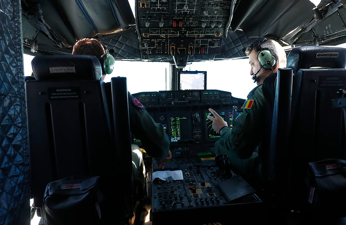
The media periodically publish news about the problems that GPS or Spufing jeopardizes. For example, in June 2025, a flight from Spanish Alikant to Polish Bydgoshch was redirected to Poznan: the crew reported “difficulties with navigation”. And in April 2024, two Finnair aircraft that flew out of Helsinki to Tartu could not land : due to the lack of the correct GPS signal, both flights returned to the Finnish capital.
But the most attention is attracted by cases in which politicians and officials are involved. So, in March 2024, the navigation signal disappeared by the aircraft, on board the then Minister of Defense of Great Britain Grant Shapps: this happened when he returned from Poland, flying over the Baltic Sea near the Kaliningrad region.
And on August 31 of this year, the episode with the plane of the head of the European Commission Ursula von der Layen attracted attention. Following the media reports , the European Commission confirmed that “the GPS system of the Ursula von der Lyaine’s airplane system was stinging” during a flight to the airport of the Bulgarian city of Plovdiv. The OSINT research, hiding in social networks under the nickname Auonson, who periodically quote authoritative media, analyzed the data and came to the conclusion : this was not a targeted attack on the aircraft von der der Lyain. And although the incident did not lead to problems, he once again proved:
We are talking about a systemic threat affecting everyone-both ordinary and VIP passengers. And sooner or later it can lead to disaster.
Professor of the Faculty of Science and Technology of the University of Stavanger (Norway) Tegg Westbrook , engaged in the problems of GNSS, explained to the New-Europe that the greatest risk is presented when the pilot or captain receives false data on speed or distorted coordinates. “Even the minimum displacement of the course can take the plane or ship in the wrong direction. For example, in a closed airspace or in the territorial waters of Russia. In this case, the ship can be detained, damaged or completely destroyed, ”the expert explains.
Problems, according to him, may arise during landing, which "in conditions of bad weather, at night or with active traffic is fraught with tragedies." The OPS Group report mentioned: the crews said that because of the wrong signals, they almost landed on the wrong runways-parallel to those that were supposed to sit on. In addition, several crews informed the authors of the report on the failures of the meteorodars, which made it impossible to detect thunderstorms and other dangerous phenomena ahead along the route.
Concerning is also caused by the fact that after the spacecraft (even when restoring the GPS coating), the Earth’s proximity system (GPWS) does not work incorrectly: it may not notice a mountain or another obstacle or, conversely, to constantly transmit a false signal about the need to immediately gain a height. Experts note that the risk is especially increasing in winter, when, due to poor weather conditions and the threat of icing, it becomes much more difficult to fly according to the rules of visual flight.
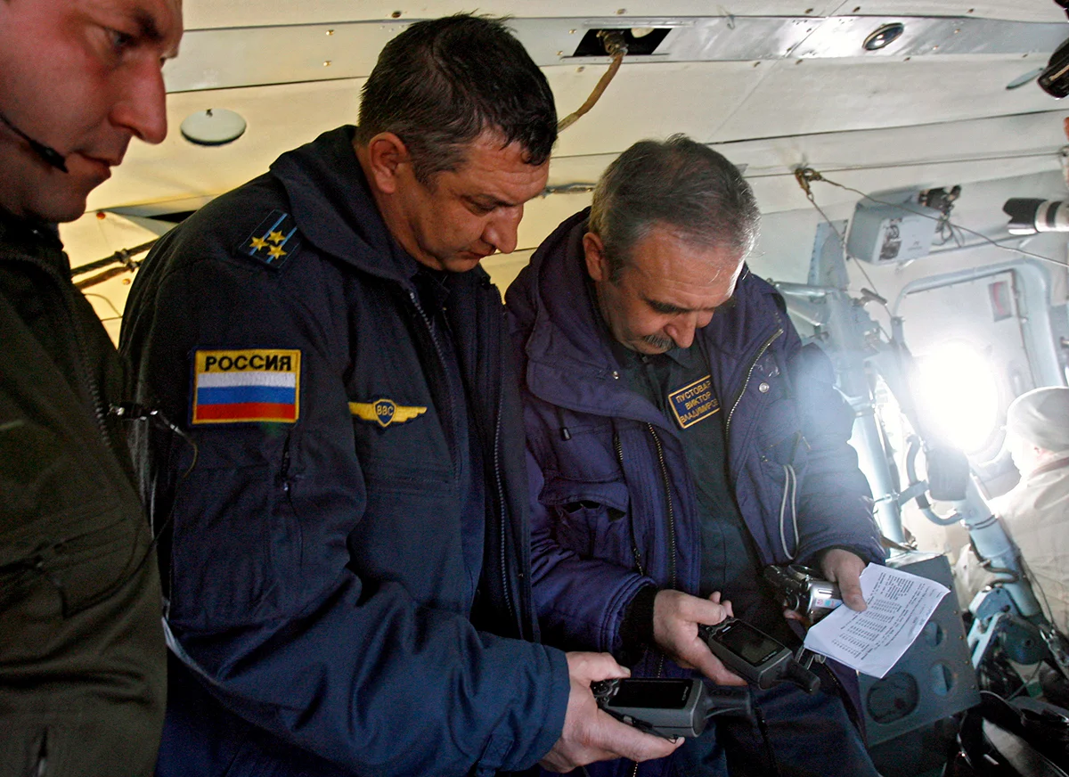
Meanwhile, the Baltic sailors and fishermen say that navigation devices constantly “transfer” ships to hundreds of kilometers deep into the territory, and in such conditions they have to return to the compass and other traditional navigation methods. In the marine rescue service of Sweden, they also talked about the threat that the ships relying on the GPS can be stolen, and rescuers will have to look for them almost blindly.
A separate problem is with civilian drones that are used in agriculture, construction and in rescue operations: they lose contact or fly away in an unknown direction.
We must not forget about such a GNSS function as the exact synchronization of time - it is used, for example, in telecommunications, the banking sector and energy. The loss of the signal can lead to malfunctions in mobile communications, errors in financial transactions, and even to violations of the work of energy systems. Thus, the interference on the Baltic states threaten not only aircraft passengers, but also the daily life of millions of Europeans.
Purpose or side effect
Where exactly the sources of problems are, for specialists it is no secret for a long time. The mentioned report of the six European countries for ICAO claims : the signal mulberries are in Kaliningrad, St. Petersburg, Smolensk and Rostov. The investigation published by the Defense News portal also established that powerful interference proceeds from the Kaliningrad region and from the coast of the Leningrad Region, where key Russian units of the electronic warfare are located.
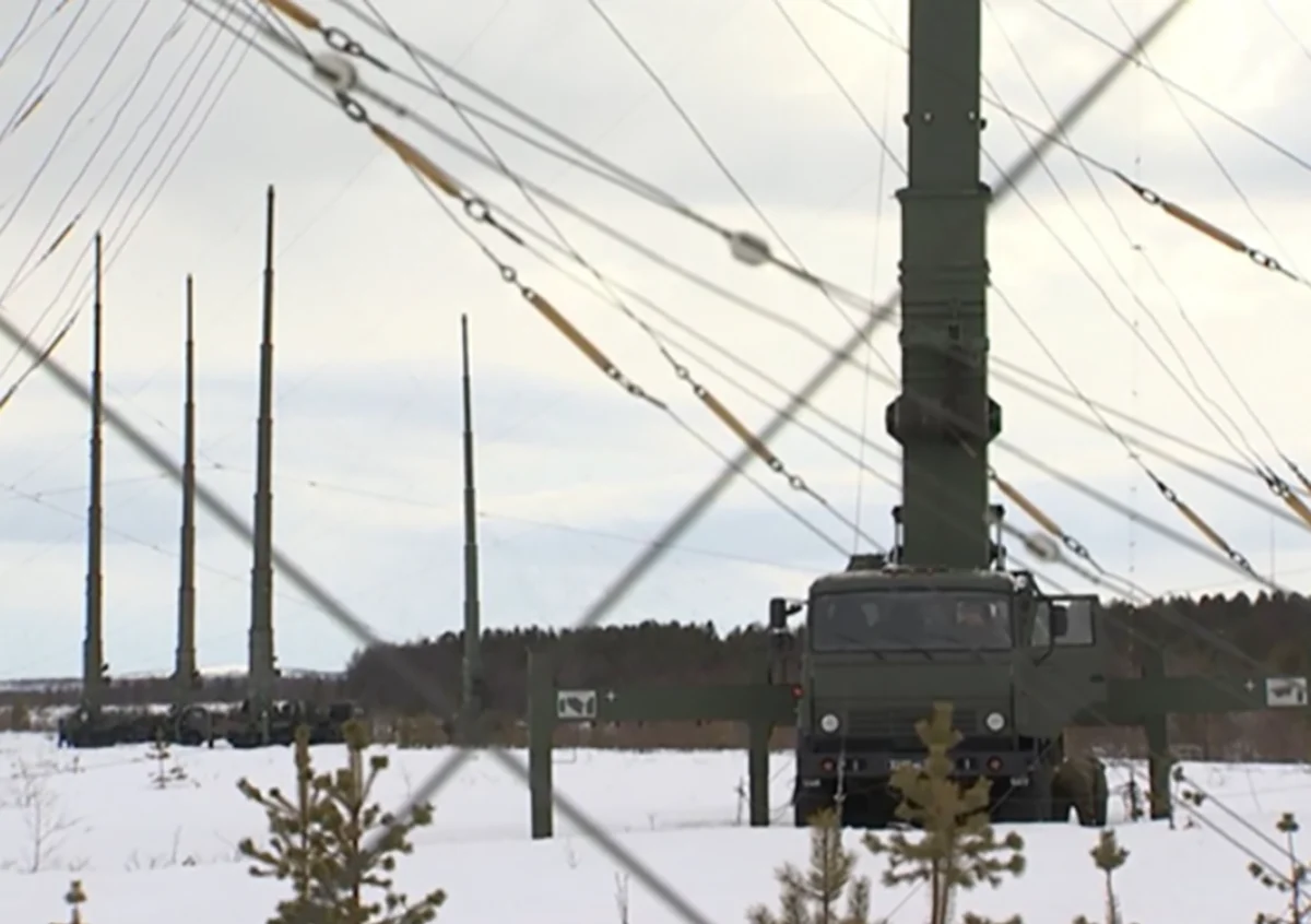
Open sources also mention specific systems. First of all, GT-01 Murmansk-BN is a complex of trucks with powerful 32-meter antennas, designed to suppress communication systems within a radius of 5-8 thousand km. In addition, the installations on ships of the Baltic Fleet and the mobile complexes “Resident”, “Krasukha” and “Field-21” can be “to blame”.
According to experts, in general, mulisure and GPS trumpets can be very small, the size of a shoe box, while acting for many kilometers. And this allows you to easily move the jammers around the region. For example, the equipment, from which Estonia suffers, apparently, in 2025 moved from the south-west of St. Petersburg to the north-west of the city. And the authorities of Latvia claimed in August that the Russian military moved the slut to the Pskov region, closer to the border.
The Russian authorities themselves have never officially confirmed involvement in mass interference. Meanwhile, according to the wording of the Latvian authorities,
At one of the meetings of the International Union of Electro -Contemporary (ITU), the Russian leadership “did not deny” the fact of jamming radio signals, “but justified actions by the need to protect national infrastructure” -
airfields, ammunition depots and equipment, oil depots and so on. In addition, in the register of the Federal Air Transport Agency of the Federal Air Transport Agency of January 22 of this year, it was directly - albeit with reservations like “maybe” and “including” - it was indicated: wine lies with “radio electronic suppression products used in a number of constituent entities of the Russian Federation as one of the measures to protect important objects from unlawful use of unmanned aircraft”.
Most aviation experts and specialized departments consider this version to be logical. Thus, the Finnish Transport and Communication Agency Traficom previously stated that GPS beating, “most likely”, is a side effect of Russia's struggle with Ukrainian drones attacking the energy and other infrastructure of Russia. The fact that civil aviation is not the goal of jamming the GPS signals, but the accompanying victim of counteracting Ukrainian drones is also sure the head of the Civil Aviation Agency of Latvia Maris Gorodsovs.
Meanwhile, there is another version - about the “field tests” of Russian radio electronic wrestling means, probing the red lines of the West and the development of scenarios of a possible attack on NATO countries. Supporters of this theory fit what is happening into a wide context, recalling the recent mass invasion of Russian drones to Poland, and mysterious cases of cable rupture on the Baltic Sea, and other various alleged diversions. What is happening is part of the Russian hybrid war against the West, the Secretary General of NATO Mark Rutte is sure . The authorities of the Republics of the Baltic , Poland and a number of other European countries are also evidenced.
According to the director of the radio navigation laboratory of the University of Texas in Austin (USA), Professor Todd Humphris , the truth is in combination of both approaches: “Of course, most of the Russian activity in terms of jaming and laminching is directly related to its war in Ukraine. But spunes and jamming, which are originating from the front line - for example, from Kaliningrad and areas on the border with Estonia - rather seem offensive, and not defensive actions. А некоторые из применяемых приемов, такие как подмена времени в GPS-сигналах, получаемых воздушными судами, кажется, специально рассчитаны на то, чтобы потревожить западную авиацию. С задачей по защите России это не связано».
Профессор Тегг Вестбрук соглашается: «Во всем, что связано с Россией и помехами GNSS, нет черного и белого. Двусмысленность — часть самой природы этих помех». Во-первых, уверен эксперт, это часть широких стратегий Москвы против Запада, включающих в себя и запугивание другой стороны: «Это крайне дешевый, примитивный, но при этом мощный и навязчивый способ давления на соседей, не влекущий серьезных дипломатических или военных последствий для России». Во-вторых, продолжает Вестбрук, это инструмент оценки сильных и слабых сторон противника. В частности, проверяется то, как реагирует НАТО, как в таких условиях функционируют дроны и другие гражданско-военные системы, как реагирует население и так далее.
Полеты в новых условиях
По мнению Тегга Вестбрука, «воспринимать угрозу как катастрофическую не стоит — по крайней мере, на первый взгляд», но вмешательство в GNSS безрассудно и в итоге может косвенным образом привести к трагическим событиям. В связи с этим авиаспециалисты, военные и политики ищут сейчас возможности для противодействия этой деятельности Москвы — каждый в соответствии со своей экспертизой.
Так, Тодд Хамфрис в разговоре с «Новой-Европа» обратил внимание на необходимость принятия технических мер — например, «испытаний, сертификации и закупки для гражданской авиации специальных антенн типа CRPA» (Controlled Reception Pattern Antenna; антенны с управляемой диаграммой направленности. — Прим. ред.). Они, как отмечает эксперт, «могут сократить зону влияния глушителя или спуфера в 100 раз и достаточно просты, чтобы не требовать серьезной переделки авионики». Кроме того, необходимо модернизировать авиационные GPS-приемники.
«Современные используют лишь одну частоту (L1) и только одну систему (GPS). И это при том, что приемник GNSS в вашем телефоне обладает куда более широкими возможностями»,
— пояснил Тодд Хамфрис.
Также специалисты говорят о необходимости развивать альтернативные системы навигации — в первую очередь, европейскую систему Galileo. Летом 2025 года в нее была внедрена новая технология — цифровая подпись сигналов, которая должна затруднить подмену координат и облегчить обнаружение ложных данных. Но этого недостаточно: требуется ускоренное развертывание спутников, а также интеграция Galileo в максимальное число гражданских и военных приборов. Только так Европа сможет уменьшить зависимость от американского GPS и одновременно повысить устойчивость навигации.
Тегг Вестбрук, тем временем, отмечает: если оглядываться назад, становится ясно, что США и Европа совершили ошибку, в 2010-е годы отказавшись от неспутниковой навигационной системы eLoran. Теперь неспутниковые системы, вероятно, будут играть всё большую роль. Внимание привлекает, например, проект R-Mode Baltic, который должен заработать к 2026 году. Он опирается на сеть наземных радиопередатчиков, способных поддерживать устойчивую навигацию в прибрежных зонах. Проект финансируется ЕС, над ним работают Германия, Польша, Швеция, Норвегия, Финляндия и Эстония, а Дания выступает в качестве ассоциированного партнера. Как утверждает издание Defense News, над похожими в той или иной степени проектами работают еще несколько стран, включая Россию, КНР, Индию, США, Саудовскую Аравию, Великобританию, Южную Корею.
ИКАО в своих рекомендациях делает акцент на развитии концепции C-PNT (дополненной PNT): сочетании спутниковой навигации с инерциальными системами, радиомаяками и другими сенсорами. Такой подход позволяет снизить зависимость от одной конкретной — спутниковой — технологии. Реализация C-PNT ожидается к 2030 году. Кроме того, организация приступила к разработке iPack — четкого плана действий, который поможет государствам эффективно справляться с инцидентами, «обеспечивая при этом бесперебойное, безопасное и эффективное аэронавигационное обслуживание». План должен быть готов в четвертом квартале этого года. И это — лишь некоторые из многих мер , которые, вероятно, будут обсуждаться на сессии Генассамблеи ИКАО.
Между тем, Тегг Вестбрук считает критически важным человеческий фактор, из чего следует значимость грамотного обучения экипажей. Авторы доклада OPS Group указывали на отсутствие четкой процедуры инструктажей по теме GPS-спуфинга, что повышает риск ошибочных действий пилотов. По мнению экспертов, рост числа случаев потери GPS-сигнала — «это не просто техническая проблема, а фактор, который радикально меняет подход к подготовке нового поколения пилотов и диспетчеров». Это же касается и морской сферы: капитанам теперь неизбежно придется уделять больше внимания классическим методам навигации.

Сигналы Москве
Обсуждаются сейчас и меры давления на Россию. По словам Тегга Вестбука, создание помех незаконно по договорам и правилам Международного союза электросвязи. Один из вариантов реакции — лишение России возможности получать в МСЭ новые разрешения на использование радиочастот. Записи в соответствующем реестре дают международное признание прав на частоты и обеспечивают механизм защиты от помех со стороны других государств. В случае санкций в отношении РФ такой защиты уже не будет. Возможность этого шага уже обсуждалась и ИКАО (ее роль в данном случае координационная и регулятивная, организация может лишь рекомендовать введение санкций), и Советом Евросоюза .
В свою очередь, Тодд Хамфрис в разговоре с «Новой-Европа» выступил за то, чтобы «лишать права голоса в МСЭ те государства-члены, которые неоднократно создают вредные помехи за пределами своей суверенной территории». Однако, отмечает он, для этого потребуется внесение изменений в устав МСЭ.
По словам профессора Вестбрука, «сейчас договориться с Россией напрямую невозможно, но нужно ясно дать понять ей, что провокации уже несколько раз едва не привели к военным столкновениям».
Ключевыми направлениями работы, как считает собеседник «Новой-Европа», должны быть «выявление возможных путей эскалации и формирование механизмов деэскалации».
«Например, что будет, если судно сядет на мель в Балтийском море, что вызовет экологическую катастрофу? Кто будет нести ответственность? Или если судно, идущее в Россию в условиях отсутствия GNSS и с отключенной AIS (автоматической информационной системой. — Прим. ред.) будет болтаться в районе, где продолжены подводные кабели, и откажется показать документы по требованию Эстонии или Финляндии? Что если это приведет к противостоянию флотов? Или если гражданский самолет, попавший под спуфинг, будет принят за военный и сбит?» — на эти и многие другие вопросы, по словам Тегга Вестбрука, необходимо найти четкие ответы. «Когда ситуация выходит из-под контроля, в интересах всех сторон — решать ее с помощью логики и диалога», — резюмирует эксперт.
Перспективы эффективного взаимодействия с Москвой, действительно, пока крайне туманны. Но западные страны в своем кругу тему продолжат обсуждать, причем в разных форматах — на заседаниях Совета ЕС по транспорту, телекоммуникациям и энергетике, на встречах НАТО и, например, в рамках Совета государств Балтийского моря. Нынешний председатель Совета — Польша, и в августе премьер-министр Дональд Туск, не называя дат, пообещал созвать саммит лидеров этого регионального объединения, из которого РФ вышла в 2022 году. В повестке — совместное противодействие организованным Россией GPS-помехам и защита критически важной инфраструктуры в условиях новых гибридных угроз.
Специалистам давно были известны все уязвимые точки технологии GPS и других схожих систем. Но к 2025 году, как утверждается в докладе OPS Group, сложилась ситуация, которая «сделала будущее GPS в авиации абсолютно неясным». При этом проблема вышла далеко за пределы транспортной тематики: она приобрела системный характер и ставит перед Европой вопросы стратегической устойчивости. Навигацию теперь необходимо рассматривать так же, как, например, кибербезопасность или энергетику — как сферу, где уязвимость равнозначна угрозе национальной безопасности.